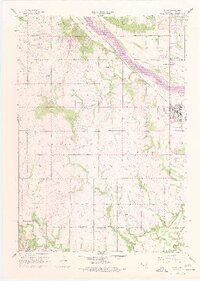
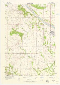
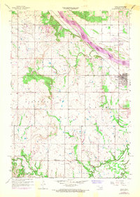
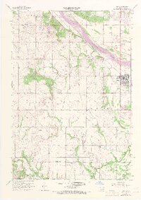
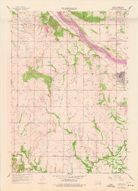
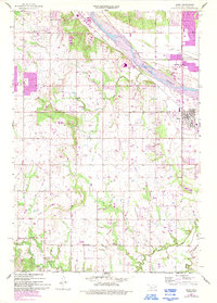
1957 Map of Bixby
USGS Topo · Published 1977About this map
The Arkansas River serves as the dominant geographic anchor for this mid-century Oklahoma landscape, constrained by a prominent levee system that protects the growing settlement of Bixby. The river plain is a busy industrial corridor where the Texas and Pacific railroad tracks run parallel to the water, supporting local commerce. Beyond the town center, the land transitions into a complex network of oil wells, oil tanks, and pipelines, particularly concentrated south of Skyline Park.
Find a feature on this map
35 named features on this map. Tap any name to fly to it.
Don’t see what you’re looking for? This feature index may not catch every label — zoom into the map to look around manually.
Map Details
Editions of this 1957 Bixby Map
6 editions found
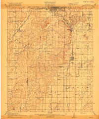
Other maps of this area

1896 · Okmulgee
USGS Topo · 1:125,000

1900 · Okmulgee
USGS Topo · 1:125,000

1901 · Claremore
USGS Topo · 1:125,000

1901 · Nuyaka
USGS Topo · 1:125,000

1912 · Hominy
USGS Topo · 1:125,000

1914 · Kiefer
USGS Topo · 1:62,500

1914 · Claremore
USGS Topo · 1:125,000

1915 · Hominy
USGS Topo · 1:125,000
1916 · Kiefer
USGS Topo · 1:62,500

1916 · Claremore
USGS Topo · 1:125,000