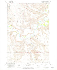
1956 Map of Black Horse NE
USGS Topo · Published 1976About this map
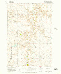
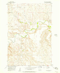
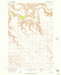
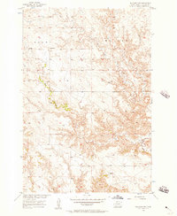
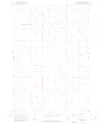
The Grand River meanders through this portion of Corson County, carving a deep, winding valley across the landscape during the mid-1950s. This survey, conducted as part of the Department of the Interior program for the development of the Missouri River Basin, documents the sparse settlement patterns typical of the region. A notable concentration of community life appears at the southern edge of the sheet, where the Holy Spirit Ch and an adjacent Cem are situated near the headwaters of Firesteel Creek. The surrounding area is defined by the intersections of several watercourses, including White Shirt Cr, Hump Creek, and Soldier Creek, which feed into the primary river system. The presence of the Liberty boundary indicates the localized administrative divisions of the era, providing a clear view of the rural geography before modern development.
Find a feature on this map
8 named features on this map. Tap any name to fly to it.
Don’t see what you’re looking for? This feature index may not catch every label — zoom into the map to look around manually.
Map Details
Editions of this 1956 Black Horse NE Map
3 editions found
Other maps of this area

1953 · McIntosh
USGS Topo · 1:250,000
1956 · Miscol SW
USGS Topo · 1:24,000

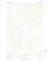
1956 · Black Horse NE
USGS Topo · 1:24,000
1956 · Black Horse SW
USGS Topo · 1:24,000
1956 · Black Horse SE
USGS Topo · 1:24,000
1956 · Black Horse
USGS Topo · 1:24,000
1956 · Miscol
USGS Topo · 1:24,000
1956 · Bullhead SW
USGS Topo · 1:24,000

1958 · McIntosh
USGS Topo · 1:250,000
1972 · McIntosh SW
USGS Topo · 1:24,000