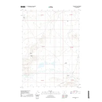
2017 Map of Black Rock Gap
USGS Topo · Published 2017About this map
The Sweetwater River meanders across this high desert landscape, serving as a vital hydrologic corridor in a region defined by granite peaks and alkaline basins. The river's winding path provides a stark contrast to the surrounding terrain of the Granite Mountains, where geological landmarks like Jamerman Rock and Black Rock Gap punctuate the horizon. The presence of Soda Lakes and ephemeral drainages such as Sage Hen Cr and Diamond Springs Draw suggests a complex local ecosystem dependent on seasonal moisture and the perennial flow of Black Rock Spring.
Find a feature on this map
18 named features on this map. Tap any name to fly to it.
Don’t see what you’re looking for? This feature index may not catch every label — zoom into the map to look around manually.
Map Details
Editions of this 2017 Black Rock Gap Map
This is the sole edition of this map. No revisions or reprints were ever made.
Other maps of this area

1951 · Crooks Creek NE
USGS Topo · 1:24,000

1951 · Stampede Meadow
USGS Topo · 1:24,000

1951 · Black Rock Gap
USGS Topo · 1:24,000

1951 · Split Rock
USGS Topo · 1:24,000

1951 · Split Rock NW
USGS Topo · 1:24,000

1951 · Lankin Dome
USGS Topo · 1:24,000

1952 · Muskrat Basin
USGS Topo · 1:24,000

1952 · Coyote Springs
USGS Topo · 1:24,000

1952 · Mc Intosh Meadows
USGS Topo · 1:24,000

1955 · Casper
USGS Topo · 1:250,000