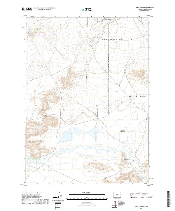
2021 Map of Black Rock Gap
USGS Topo · Published 2021About this map
The Sweetwater River meanders across this high plains landscape, defining the southern portion of a region shaped by wind and water. To the north, the eastern reach of the Granite Mountains emerges, punctuated by distinctive passes such as Black Rock Gap and Quaking Asp Gap. These natural corridors have historically facilitated movement through the varied terrain of central Wyoming.
Find a feature on this map
18 named features on this map. Tap any name to fly to it.
Don’t see what you’re looking for? This feature index may not catch every label — zoom into the map to look around manually.
Map Details
Editions of this 2021 Black Rock Gap Map
This is the sole edition of this map. No revisions or reprints were ever made.
Other maps of this area

1951 · Crooks Creek NE
USGS Topo · 1:24,000

1951 · Stampede Meadow
USGS Topo · 1:24,000

1951 · Black Rock Gap
USGS Topo · 1:24,000

1951 · Split Rock
USGS Topo · 1:24,000

1951 · Split Rock NW
USGS Topo · 1:24,000

1951 · Lankin Dome
USGS Topo · 1:24,000

1952 · Muskrat Basin
USGS Topo · 1:24,000

1952 · Coyote Springs
USGS Topo · 1:24,000

1952 · Mc Intosh Meadows
USGS Topo · 1:24,000

1955 · Casper
USGS Topo · 1:250,000