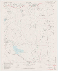
1967 Map of Black Star Canyon
USGS Topo · Published 1968About this map
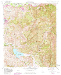
Industrial activity and rugged terrain define this section of the Santa Ana Mountains during the late 1960s. The map highlights a history of extraction through labels like the Black Star Coal Mine, Santiago Coal Mine, and the Claymont Clay Mine, indicating the region's diverse mineral resources. Water management infrastructure is prominent, centered on the Santiago Reservoir and Santiago Dam, while the northern edge is traced by the Santa Ana River and the developing Riverside Freeway.
Find a feature on this map
43 named features on this map. Tap any name to fly to it.
Don’t see what you’re looking for? This feature index may not catch every label — zoom into the map to look around manually.
Map Details
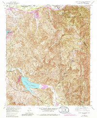
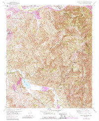
Editions of this 1967 Black Star Canyon Map
7 editions found
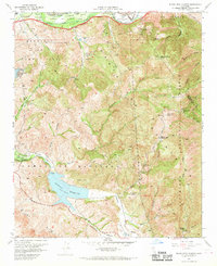
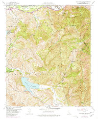
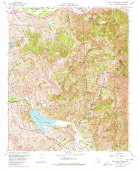
Other maps of this area

1896 · Santa Ana
USGS Topo · 1:62,500

1896 · Anaheim
USGS Topo · 1:62,500

1898 · Anaheim
USGS Topo · 1:62,500

1901 · Southern California Sheet No. 1
USGS Topo · 1:250,000

1901 · Santa Ana
USGS Topo · 1:62,500

1901 · Anaheim
USGS Topo · 1:62,500

1902 · Corona
USGS Topo · 1:125,000

1904 · Southern California Sheet No. 1
USGS Topo · 1:250,000

1932 · Orange
USGS Topo · 1:31,680

1932 · Tustin
USGS Topo · 1:31,680