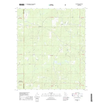
2018 Map of Blackburn
USGS Topo · Published 2018About this map
Claiborne Parish family history is deeply etched into the landscape around Blackburn and Ruple through an extensive network of rural burial grounds. The 2018 survey reveals a terrain defined by winding waterways like Flat Lick Bayou and Black Bayou, which carve through the dense woodlands of the Kisatchie National Forest. This region, split by the boundary with Webster Parish, is characterized by its numerous small family and community cemeteries, including Gryder Cem, King Cem, Webb Cem, and Cold Springs Cem. The density of these sites, often situated at the terminus of local routes like Bethlehem Rd or Jo Pruitt Rd, indicates a long-standing settlement pattern of dispersed farmsteads and small crossroads communities. The landscape remains largely rural, with the topography undulating toward drainage basins such as Coon Hollow and Glass Creek, preserving a layout that likely mirrors early twentieth-century land use.
Find a feature on this map
65 named features on this map. Tap any name to fly to it.
Don’t see what you’re looking for? This feature index may not catch every label — zoom into the map to look around manually.
Map Details
Editions of this 2018 Blackburn Map
This is the sole edition of this map. No revisions or reprints were ever made.
Other maps of this area

1922 · Sarepta
USGS Topo · 1:62,500

1924 · Sarepta
USGS Topo · 1:62,500

1947 · Minden
USGS Topo · 1:62,500

1949 · Minden
USGS Topo · 1:62,500

1949 · Gibsland
USGS Topo · 1:62,500

1950 · Gibsland
USGS Topo · 1:62,500

1952 · Homer
USGS Topo · 1:62,500

1955 · Shreveport
USGS Topo · 1:250,000

1956 · Shreveport
USGS Topo · 1:250,000

1956 · Sarepta
USGS Topo · 1:62,500