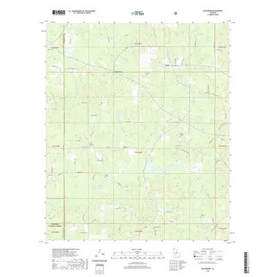
2020 Map of Blackburn
USGS Topo · Published 2020About this map
Flat Lick Bayou and Black Bayou wind through this corner of North Louisiana, where the landscape is defined by the transition from rural parish lands into the northern reaches of the Kisatchie National Forest. Small communities like Blackburn and Ruple anchor a network of local roads such as Pistol Thomas Rd and Bois D Arc Rd. The area is notably dense with family and community burial grounds, reflecting generations of local lineage in places like Shiloh Cem, Mount Pisgah Cem, and the Grisby - Lewis Cem. This record also identifies the Hamiter Marker, providing a specific point of interest for local historians and genealogists tracing the settlement patterns and commemorative landmarks of Claiborne and Webster parishes.
Find a feature on this map
69 named features on this map. Tap any name to fly to it.
Don’t see what you’re looking for? This feature index may not catch every label — zoom into the map to look around manually.
Map Details
Editions of this 2020 Blackburn Map
This is the sole edition of this map. No revisions or reprints were ever made.
Other maps of this area

1922 · Sarepta
USGS Topo · 1:62,500

1924 · Sarepta
USGS Topo · 1:62,500

1947 · Minden
USGS Topo · 1:62,500

1949 · Minden
USGS Topo · 1:62,500

1949 · Gibsland
USGS Topo · 1:62,500

1950 · Gibsland
USGS Topo · 1:62,500

1952 · Homer
USGS Topo · 1:62,500

1955 · Shreveport
USGS Topo · 1:250,000

1956 · Shreveport
USGS Topo · 1:250,000

1956 · Sarepta
USGS Topo · 1:62,500