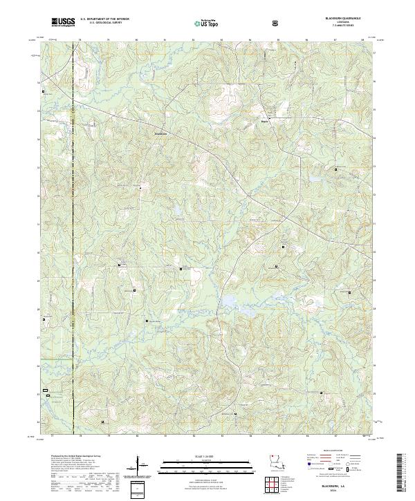
2024 Map of Blackburn
USGS Topo · Published 2024About this map
The borderlands of Webster Parish and Claiborne Parish center on the small community of Blackburn, a landscape defined by its deep genealogical roots and heavy timber. This modern survey reveals a dense network of country cemeteries that anchor the local history, ranging from Lebanon Cem in the east to Shiloh Cem in the west. These small burial grounds, often associated with family names or early congregations like Mount Pisgah Cem and Union Grove Cem, provide a map of settlement patterns that have persisted for generations.
Find a feature on this map
87 named features on this map. Tap any name to fly to it.
Don’t see what you’re looking for? This feature index may not catch every label — zoom into the map to look around manually.
Map Details
Editions of this 2024 Blackburn Map
This is the sole edition of this map. No revisions or reprints were ever made.
Other maps of this area

1922 · Sarepta
USGS Topo · 1:62,500

1924 · Sarepta
USGS Topo · 1:62,500

1947 · Minden
USGS Topo · 1:62,500

1949 · Minden
USGS Topo · 1:62,500

1949 · Gibsland
USGS Topo · 1:62,500

1950 · Gibsland
USGS Topo · 1:62,500

1952 · Homer
USGS Topo · 1:62,500

1955 · Shreveport
USGS Topo · 1:250,000

1956 · Shreveport
USGS Topo · 1:250,000

1956 · Sarepta
USGS Topo · 1:62,500