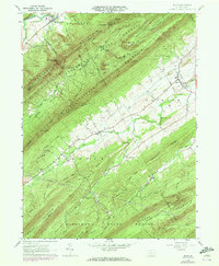
1960 Map of Blain
USGS Topo · Published 1972About this map
Tuscarora Mountain and Conococheague Mountain dominate this landscape, defining the ridgeline-and-valley geography of western Perry County. The borough of Blain serves as a local hub near the eastern edge, where Sherman Creek winds through the floor of Jackson Township. The map illustrates a mid-century rural economy where small crossroads like Mt Pleasant and New Germantown are connected by secondary routes like Pa 75 and Pa 850. Much of the higher terrain is managed within the Tuscarora State Forest, featuring recreation spots like the Kansas Valley Park Area and Fowler Hollow Park Area. Genealogical interest is found in local landmarks such as Three Springs Ch and Fairview Ch, along with several unnamed cemeteries that dot the valley floor. The placement of multiple high-pressure pipelines crossing the ridges at East Waterford Narrows shows the infrastructure shifts occurring in the early 1960s.
Find a feature on this map
47 named features on this map. Tap any name to fly to it.
Don’t see what you’re looking for? This feature index may not catch every label — zoom into the map to look around manually.
Map Details
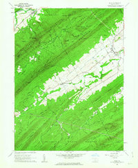
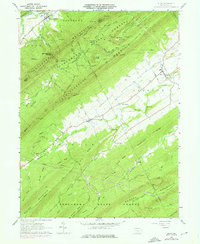
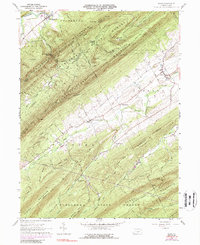
Editions of this 1960 Blain Map
4 editions found
Other maps of this area

1919 · Newville
USGS Topo · 1:62,500

1919 · Mattawana
USGS Topo · 1:62,500

1923 · Shippensburg
USGS Topo · 1:62,500

1930 · Loysville
USGS Topo · 1:62,500

1933 · Loysville
USGS Topo · 1:62,500

1936 · East Waterford
USGS Topo · 1:48,000

1941 · East Waterford
USGS Topo · 1:62,500

1943 · Shippensburg
USGS Topo · 1:62,500

1945 · Newville
USGS Topo · 1:62,500

1945 · Shippensburg
USGS Topo · 1:62,500