
Loading...
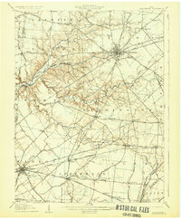
Loading map...1907 Map of Blanchester
USGS Topo · Published 1907About this map
Wilmington serves as a significant hub of activity in this turn-of-the-century landscape, characterized by its dense street grid, the County Infirmary, and the Fairgrounds. The map reveals a robust agricultural and social network defined by numerous local landmarks such as Jonahs Run Church, Springfield Chapel, and Villars Chapel. Education and social welfare are mapped through the Dutch School, Glady School, and the Childrens Home north of the county seat.
Find a feature on this map
81 named features on this map. Tap any name to fly to it.
Don’t see what you’re looking for? This feature index may not catch every label — zoom into the map to look around manually.
Map Details
Date Portrayed1907
Date Published1907
PublisherU.S. Geological Survey
Map TypeTopographic
Scale1:62500
Physical Dimensions15.25 x 19.88 inches
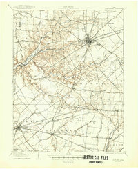
Editions of this 1907 Blanchester Map
3 editions found
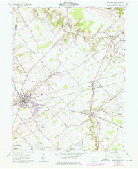
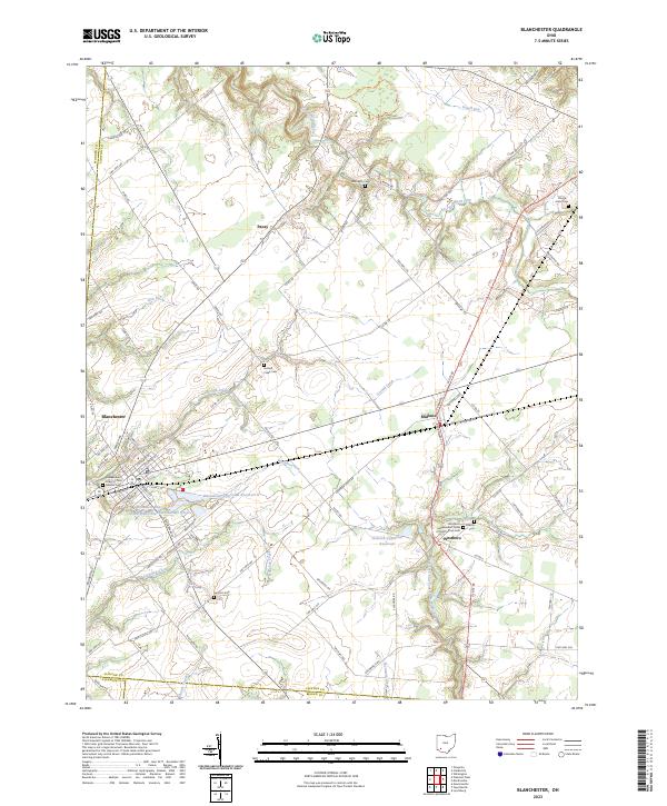
Historical Maps of Vandervorts Corners Through Time
3 maps found
Featured Locations
Source Details
SourceU.S. Geological Survey
CopyrightPublic Domain