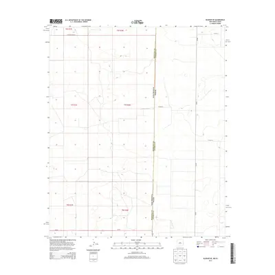
2013 Map of Bledsoe NE
USGS Topo · Published 2013About this map
The New Mexico Texas state line defines the central vertical axis of this landscape, marking the transition between Roosevelt County and Cochran County. This high plains region is characterized by a sparse network of county roads and section lines that facilitate the local agricultural economy. In the southern portion of the sheet, Nm-262 provides a key east-west transit point across the state boundary, while Fm-595 serves as a primary north-south artery on the Texas side. The terrain is marked by township and range divisions such as t7s r38e, where the land is organized into a rigid grid for ranching or farming. Local transit relies on routes like S Roosevelt Road 35 and Co Road 96, which connect the isolated homesteads and fields across the state border.
Find a feature on this map
14 named features on this map. Tap any name to fly to it.
Don’t see what you’re looking for? This feature index may not catch every label — zoom into the map to look around manually.
Map Details
Editions of this 2013 Bledsoe NE Map
This is the sole edition of this map. No revisions or reprints were ever made.
Other maps of this area

1954 · Brownfield
USGS Topo · 1:250,000

1958 · Brownfield
USGS Topo · 1:250,000

1962 · Brownfield
USGS Topo · 1:250,000

1969 · Maple
USGS Topo · 1:24,000

1970 · Lingo
USGS Topo · 1:24,000

1970 · Bledsoe
USGS Topo · 1:24,000

1970 · Morton SW
USGS Topo · 1:24,000

1970 · Morton NW
USGS Topo · 1:24,000

1970 · Bledsoe NE
USGS Topo · 1:24,000

1972 · Bluit
USGS Topo · 1:24,000