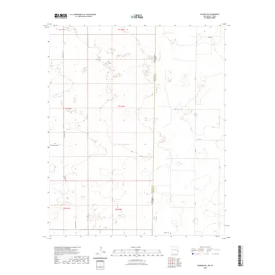
2023 Map of Bledsoe NE
USGS Topo · Published 2023About this map
The high plains landscape of the Llano Estacado is defined here by the straight-line border between New Mexico and Texas. This 2023 survey illustrates the sparse, rural nature of the borderlands where Roosevelt County, New Mexico, meets Cochran County, Texas. The terrain is a network of section lines and intermittent lake beds, typical of this arid region. Transportation is anchored by local routes such as FM 595 and S Roosevelt Rd E, which facilitate movement between scattered agricultural holdings. A primary point of interest for genealogists is the Bledsoe Cem, located near the southern boundary in Texas. The map provides a precise look at the modern township and range grid, from t6s r37e to t8s r38e, showing how the land is systematically divided for ranching and farming in the 21st century.
Find a feature on this map
15 named features on this map. Tap any name to fly to it.
Don’t see what you’re looking for? This feature index may not catch every label — zoom into the map to look around manually.
Map Details
Editions of this 2023 Bledsoe NE Map
This is the sole edition of this map. No revisions or reprints were ever made.
Other maps of this area

1954 · Brownfield
USGS Topo · 1:250,000

1958 · Brownfield
USGS Topo · 1:250,000

1962 · Brownfield
USGS Topo · 1:250,000

1969 · Maple
USGS Topo · 1:24,000

1970 · Lingo
USGS Topo · 1:24,000

1970 · Bledsoe
USGS Topo · 1:24,000

1970 · Morton SW
USGS Topo · 1:24,000

1970 · Morton NW
USGS Topo · 1:24,000

1970 · Bledsoe NE
USGS Topo · 1:24,000

1972 · Bluit
USGS Topo · 1:24,000