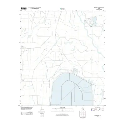
2010 Map of Blessing SE
USGS Topo · Published 2010About this map
The Colorado River and its West Branch dominate this coastal Texas landscape, where industrial infrastructure meets the low-lying wetlands of Matagorda County. The Port of Bay City is a central industrial feature, accompanied by an extensive network of levees and water management channels including STP Rd and Corporon Rd. This 2010 survey illustrates the sophisticated agricultural and industrial irrigation system essential to the region's economy.
Find a feature on this map
26 named features on this map. Tap any name to fly to it.
Don’t see what you’re looking for? This feature index may not catch every label — zoom into the map to look around manually.
Map Details
Editions of this 2010 Blessing SE Map
This is the sole edition of this map. No revisions or reprints were ever made.
Other maps of this area

1951 · Bay City
USGS Topo · 1:250,000

1952 · Matagorda
USGS Topo · 1:24,000

1952 · Blessing SE
USGS Topo · 1:24,000

1952 · Palacios
USGS Topo · 1:24,000

1952 · Blessing
USGS Topo · 1:24,000

1952 · Bay City
USGS Topo · 1:24,000

1952 · Markham
USGS Topo · 1:24,000

1952 · Midfield
USGS Topo · 1:24,000

1952 · Palacios NE
USGS Topo · 1:24,000

1952 · Wadsworth
USGS Topo · 1:24,000