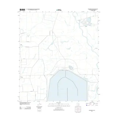
2013 Map of Blessing SE
USGS Topo · Published 2013About this map
The Cooling Water Reservoir dominates the southern landscape of this Matagorda County region, its massive footprint reflecting the industrial water needs of the South Texas Project. To the east, the Colorado River and the W Br Colorado River carve through the coastal prairie, feeding into a complex network of wetlands including Kelly Lake and Lake Le Tulle. Small settlements and family-named roads provide a human scale to the wide-open terrain. The rural community of Ashby is situated along Ashby Buckeye Rd near the banks of Wilson Cr, while the locality of Tin Top sits further south. The drainage patterns of the coastal plain are clearly marked by numerous waterways like Johnsons Timber Slough and Willow Dam Slough, illustrating the low-lying nature of the land near the Port of Bay City.
Find a feature on this map
30 named features on this map. Tap any name to fly to it.
Don’t see what you’re looking for? This feature index may not catch every label — zoom into the map to look around manually.
Map Details
Editions of this 2013 Blessing SE Map
This is the sole edition of this map. No revisions or reprints were ever made.
Other maps of this area

1951 · Bay City
USGS Topo · 1:250,000

1952 · Matagorda
USGS Topo · 1:24,000

1952 · Blessing SE
USGS Topo · 1:24,000

1952 · Palacios
USGS Topo · 1:24,000

1952 · Blessing
USGS Topo · 1:24,000

1952 · Bay City
USGS Topo · 1:24,000

1952 · Markham
USGS Topo · 1:24,000

1952 · Midfield
USGS Topo · 1:24,000

1952 · Palacios NE
USGS Topo · 1:24,000

1952 · Wadsworth
USGS Topo · 1:24,000