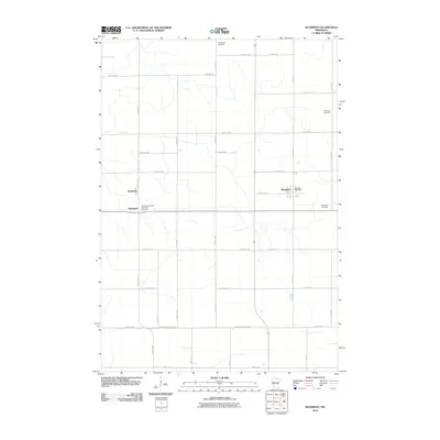
2010 Map of Blomkest
USGS Topo · Published 2010About this map
Roseland and Blomkest anchor this agricultural landscape in Kandiyohi County, where the transition from the 20th to the 21st century reveals a deeply established grid of section roads and small-town infrastructure. The map highlights key communal sites such as the Roseland Christian Reformed Cemetery and the Blomkest Post Office, which serve as vital reference points for local history. To the north, Hardanger Cemetery sits along the section lines, while the Blomkest Cemetery is situated on the eastern edge of the quadrangle. The survey illustrates a highly developed rural road system, including the Kandi-Renville Line Rd, which marks the jurisdictional boundary between counties. This map reflects the steady persistence of these prairie settlements and provides a clear view of the land divisions and family-named cemeteries that define the local genealogy of the region.
Find a feature on this map
36 named features on this map. Tap any name to fly to it.
Don’t see what you’re looking for? This feature index may not catch every label — zoom into the map to look around manually.
Map Details
Editions of this 2010 Blomkest Map
This is the sole edition of this map. No revisions or reprints were ever made.
Other maps of this area

1953 · New Ulm
USGS Topo · 1:250,000

1953 · Saint Cloud
USGS Topo · 1:250,000

1956 · Atwater
USGS Topo · 1:62,500

1957 · Saint Cloud
USGS Topo · 1:250,000

1957 · New Ulm
USGS Topo · 1:250,000

1957 · Olivia
USGS Topo · 1:62,500

1958 · New Ulm
USGS Topo · 1:250,000

1958 · Saint Cloud
USGS Topo · 1:250,000

1958 · Raymond
USGS Topo · 1:24,000

1958 · Willmar
USGS Topo · 1:24,000