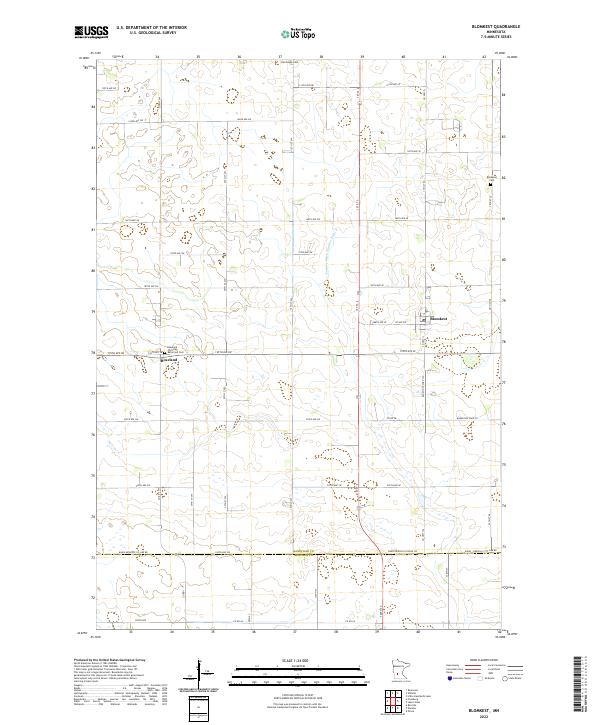
2022 Map of Blomkest
USGS Topo · Published 2022About this map
Blomkest and Roseland center this survey of the southern Kandiyohi County prairie, where the landscape is defined by an intricate network of drainage and local transport. The area's agricultural heritage is evident in the presence of several established burial grounds, including the Hardanger Cem and the Blomkest Cem. Near the settlement of Roseland, the Roseland Christian Reformed Cem serves as a significant landmark for those tracing local family histories. The terrain is managed through engineered waterways like County Ditch Number Eight A, reflecting a century of land reclamation for farming. The southern edge of the map follows the Kandiyohi Co Renville Co border, showing the junction of these two counties along roads like Kandi-Renville Co Line Rd.
Find a feature on this map
38 named features on this map. Tap any name to fly to it.
Don’t see what you’re looking for? This feature index may not catch every label — zoom into the map to look around manually.
Map Details
Editions of this 2022 Blomkest Map
This is the sole edition of this map. No revisions or reprints were ever made.
Other maps of this area

1953 · New Ulm
USGS Topo · 1:250,000

1953 · Saint Cloud
USGS Topo · 1:250,000

1956 · Atwater
USGS Topo · 1:62,500

1957 · Saint Cloud
USGS Topo · 1:250,000

1957 · New Ulm
USGS Topo · 1:250,000

1957 · Olivia
USGS Topo · 1:62,500

1958 · New Ulm
USGS Topo · 1:250,000

1958 · Saint Cloud
USGS Topo · 1:250,000

1958 · Raymond
USGS Topo · 1:24,000

1958 · Willmar
USGS Topo · 1:24,000