2023 Map of Bloomfield
USGS Topo · Published 2023About this map
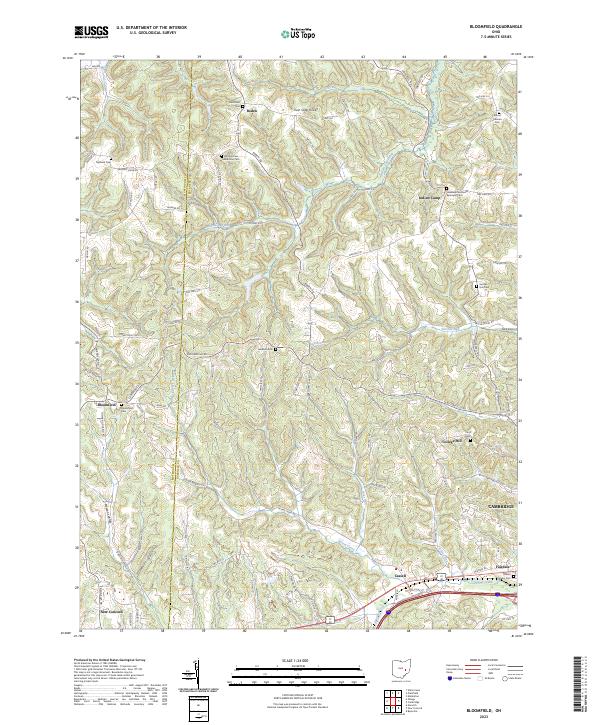
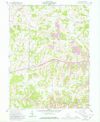
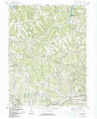
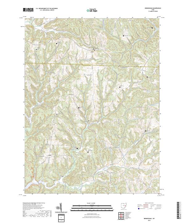
The Muskingum County and Guernsey County boundary line divides a landscape defined by rolling ridge systems and numerous creek valleys. Small settlements like Boden and Indian Camp serve as local anchors in a region where the topography is punctuated by landmarks such as the Twin Sister Knobs. The map reveals a dense network of country roads, including Boden Rd and Bloomfield Rd, which connect various family-named burial grounds and historical sites.
Find a feature on this map
107 named features on this map. Tap any name to fly to it.
Don’t see what you’re looking for? This feature index may not catch every label — zoom into the map to look around manually.
Map Details
Editions of this 2023 Bloomfield Map
This is the sole edition of this map. No revisions or reprints were ever made.
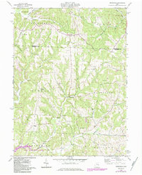
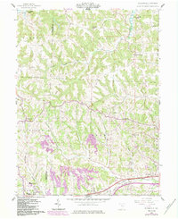
Historical Maps of Boden Through Time
14 maps found
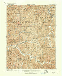
1909 Antrim
Guernsey County, OH
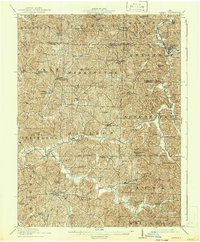
1911 Antrim
Guernsey County, OH
1961 Birmingham
Guernsey County, OH
1962 Antrim
Guernsey County, OH
1962 Bloomfield
Guernsey County, OH
1963 Birmingham
Guernsey County, OH
1993 Antrim
Guernsey County, OH
1993 Bloomfield
Guernsey County, OH
1994 Antrim
Guernsey County, OH
1994 Birmingham
Guernsey County, OH
1994 Bloomfield
Guernsey County, OH

2023 Antrim
Guernsey County, OH
2023 Birmingham
Guernsey County, OH
2023 Bloomfield
Guernsey County, OH