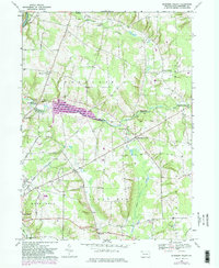
1967 Map of Blooming Valley
USGS Topo · Published 1982About this map
Woodcock Creek Lake serves as a major focal point in this Crawford County landscape, where the topography transitions from the banks of French Creek in the northwest to the agricultural uplands of Richmond and Randolph townships. The map documents a period of civil engineering and regional shift, specifically noted by purple revisions indicating the reservoir's footprint. The rural character of the area is anchored by historic crossroads like Fountain House Corners and Pinney Corners, while the village of Blooming Valley serves as a central hub along the highway. Genealogists will find significant detail in the distribution of family-named landmarks and local burial grounds, including the Townley Cem and Mt Blair Cem. The western edge of the sheet brushes against the Fairgrounds near the outskirts of Meadville, showing the meeting point of town and country during the late 1960s and early 1980s.
Find a feature on this map
48 named features on this map. Tap any name to fly to it.
Don’t see what you’re looking for? This feature index may not catch every label — zoom into the map to look around manually.
Map Details
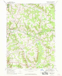
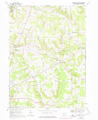
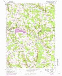
Editions of this 1967 Blooming Valley Map
4 editions found
Other maps of this area

1923 · Meadville
USGS Topo · 1:62,500

1923 · Cambridge Springs
USGS Topo · 1:62,500

1925 · Meadville
USGS Topo · 1:62,500

1925 · Cambridge Springs
USGS Topo · 1:62,500

1927 · Townville
USGS Topo · 1:48,000

1929 · Union City
USGS Topo · 1:62,500

1932 · Townville
USGS Topo · 1:62,500

1932 · Union City
USGS Topo · 1:62,500

1943 · Meadville
USGS Topo · 1:62,500

1943 · Cambridge Springs
USGS Topo · 1:62,500