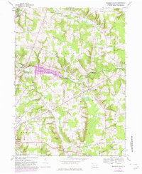
1967 Map of Blooming Valley
USGS Topo · Published 1982About this map
Blooming Valley and the surrounding Crawford County townships sit at the heart of this topographical study, which reflects the landscape as it appeared in 1967 with 1981 updates. The central geography is defined by the recently developed Woodcock Creek Lake, a significant modification to the drainage of Woodcock Creek. This hydraulic project reshaped the local valley, influencing the surrounding crossroads and farming communities. In the northwest, the Conrail line tracks the course of French Creek, a vital transport corridor since the era of early settlement.
Find a feature on this map
36 named features on this map. Tap any name to fly to it.
Don’t see what you’re looking for? This feature index may not catch every label — zoom into the map to look around manually.
Map Details
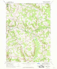
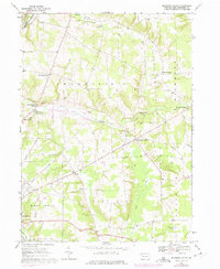
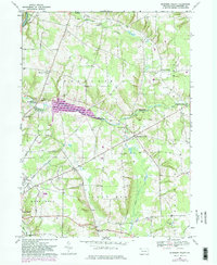
Editions of this 1967 Blooming Valley Map
4 editions found
Other maps of this area

1923 · Meadville
USGS Topo · 1:62,500

1923 · Cambridge Springs
USGS Topo · 1:62,500

1925 · Meadville
USGS Topo · 1:62,500

1925 · Cambridge Springs
USGS Topo · 1:62,500

1927 · Townville
USGS Topo · 1:48,000

1929 · Union City
USGS Topo · 1:62,500

1932 · Townville
USGS Topo · 1:62,500

1932 · Union City
USGS Topo · 1:62,500

1943 · Meadville
USGS Topo · 1:62,500

1943 · Cambridge Springs
USGS Topo · 1:62,500