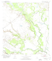
1952 Map of Bloomington SW
USGS Topo · Published 1974About this map
The Guadalupe River and San Antonio River converge in this mid-century landscape of South Texas, defining a complex network of waterways protected by an extensive system of Levee structures. The era is marked by significant energy production, visible through the sprawling Heyser Oil Field and various other designated oil and gas fields that dominate the northern and central terrain. This industrial presence is contrasted by quiet markers of early settlement, such as Rudolph Cem and Stuger Cem, providing valuable points of reference for genealogists. The Missouri Pacific railroad traverses the coastal prairie, cutting through a geography of bayous and lakes including Linn Lake and Alligator Lake. The map reveals a highly engineered riparian environment where traditional ranching and farming likely met the rising demands of the petroleum industry.
Find a feature on this map
26 named features on this map. Tap any name to fly to it.
Don’t see what you’re looking for? This feature index may not catch every label — zoom into the map to look around manually.
Map Details
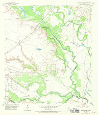
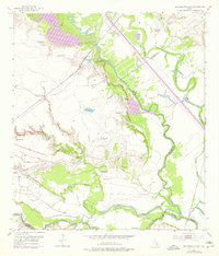
Editions of this 1952 Bloomington SW Map
4 editions found
Other maps of this area

1951 · Bloomington
USGS Topo · 1:24,000

1952 · Tivoli
USGS Topo · 1:24,000

1952 · Bloomington SW
USGS Topo · 1:24,000

1952 · Austwell
USGS Topo · 1:24,000

1952 · Placedo
USGS Topo · 1:24,000

1952 · Green Lake
USGS Topo · 1:24,000

1953 · Beeville
USGS Topo · 1:250,000

1954 · Vidaurri
USGS Topo · 1:62,500

1956 · Beeville
USGS Topo · 1:250,000

1960 · Beeville
USGS Topo · 1:250,000