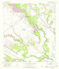
1952 Map of Bloomington SW
USGS Topo · Published 1976About this map
The Guadalupe River and San Antonio River converge in this coastal plain landscape, defining a complex network of wetlands and bayous at the intersection of Victoria, Calhoun, and Refugio Counties. The 1952 topography, updated with 1973 photorevisions, reveals an economy deeply tied to both the land and the subsurface. The Heyser Oil Field dominates the northeast, while various other oil and gas fields are marked by numerous flowing wells and pipeline corridors across the marshy lowlands.
Find a feature on this map
21 named features on this map. Tap any name to fly to it.
Don’t see what you’re looking for? This feature index may not catch every label — zoom into the map to look around manually.
Map Details
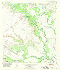
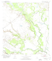
Editions of this 1952 Bloomington SW Map
4 editions found
Other maps of this area

1951 · Bloomington
USGS Topo · 1:24,000

1952 · Tivoli
USGS Topo · 1:24,000

1952 · Bloomington SW
USGS Topo · 1:24,000

1952 · Austwell
USGS Topo · 1:24,000

1952 · Placedo
USGS Topo · 1:24,000

1952 · Green Lake
USGS Topo · 1:24,000

1953 · Beeville
USGS Topo · 1:250,000

1954 · Vidaurri
USGS Topo · 1:62,500

1956 · Beeville
USGS Topo · 1:250,000

1960 · Beeville
USGS Topo · 1:250,000