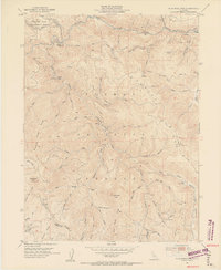
1951 Map of Blue Nose Mtn
USGS Topo · Published 1953About this map
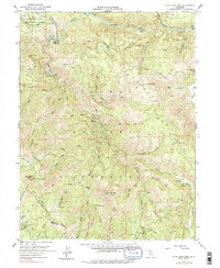
The Middle Fork Feather River carves through this portion of the northern Sierra Nevada, where the 1951 landscape is defined by the legacy of early gold mining and steep canyon topography. Evidence of hydraulic and hard-rock mining is visible across the terrain, from the Buckhorn Mine and Gallagher Mine to the evocative Turkeytown Diggings and Place Diggings. At the confluence of Nelson Creek and the river, the Nelson Point (Site) marks the location of a former mining settlement that once served as a primary hub for the region. The Western Pacific RR traces the northern river bank, passing critical infrastructure like the Gaging Sta and Carmack Mine. High-altitude landmarks such as Pilot Peak and Blue Nose Mtn rise above the Feather River Experimental Forest, while family-named features like Zumwalt Flat and Harrison Flat dot the creek drainages.
Find a feature on this map
69 named features on this map. Tap any name to fly to it.
Don’t see what you’re looking for? This feature index may not catch every label — zoom into the map to look around manually.
Map Details
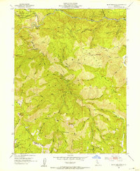
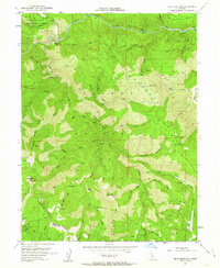
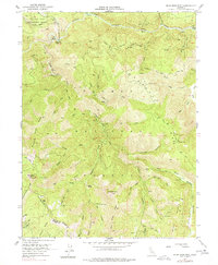
Editions of this 1951 Blue Nose Mtn Map
5 editions found
Other maps of this area

1891 · Downieville
USGS Topo · 1:125,000

1893 · Downieville
USGS Topo · 1:125,000

1895 · Downieville
USGS Topo · 1:125,000

1896 · Downieville
USGS Topo · 1:125,000

1897 · Downieville
USGS Topo · 1:125,000

1937 · Blairsden
USGS Topo · 1:48,000

1943 · Blairsden
USGS Topo · 1:62,500
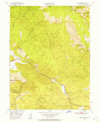
1950 · Spring Garden
USGS Topo · 1:24,000
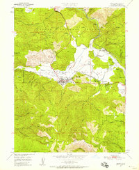
1950 · Quincy
USGS Topo · 1:24,000
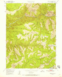
1950 · Onion Valley
USGS Topo · 1:24,000