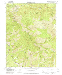
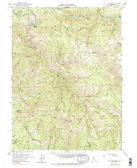
1951 Map of Blue Nose Mtn
USGS Topo · Published 1977About this map
The Middle Fork Feather River carves through this northern Sierra Nevada landscape, where the 1951 field survey documents a legacy of gold-era activity. Gold mining traces are evident at Turkeytown Diggings and the Nelson Point (Site), highlighting the historical importance of the Nelson Creek drainage. The map reveals the industrial footprint of the region with several marked operations, including the Bunker Hill Mine near Bunker Hill Ridge and the Pilot Mine situated on the slopes of Pilot Peak. Significant elevations such as Blue Nose Mtn and the Eureka Ridge dominate the center of the sheet, while the northern edge includes the Feather River Experimental Forest (PNF). This area, straddling the Plumas and Sierra County line, shows a complex network of ravines and flats, like Zumwalt Flat and English Bar, that were once central to the hydraulic and lode mining efforts of the Feather River basin.
Find a feature on this map
60 named features on this map. Tap any name to fly to it.
Don’t see what you’re looking for? This feature index may not catch every label — zoom into the map to look around manually.
Map Details
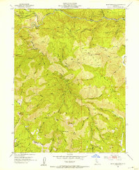
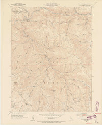
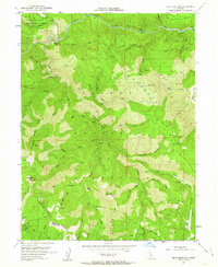
Editions of this 1951 Blue Nose Mtn Map
5 editions found
Other maps of this area

1891 · Downieville
USGS Topo · 1:125,000

1893 · Downieville
USGS Topo · 1:125,000

1895 · Downieville
USGS Topo · 1:125,000

1896 · Downieville
USGS Topo · 1:125,000

1897 · Downieville
USGS Topo · 1:125,000

1937 · Blairsden
USGS Topo · 1:48,000

1943 · Blairsden
USGS Topo · 1:62,500
1950 · Spring Garden
USGS Topo · 1:24,000
1950 · Quincy
USGS Topo · 1:24,000
1950 · Onion Valley
USGS Topo · 1:24,000