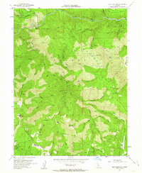
1951 Map of Blue Nose Mtn
USGS Topo · Published 1963About this map
Middle Fork Feather River carves through the high country of the Plumas National Forest, a landscape shaped by both industrial extraction and conservation efforts in the mid-twentieth century. The presence of the Feather River Experimental Forest (PNF) near the Western Pacific railroad line indicates the region's importance for forest management and resource transport. Along the river banks, locations like English Bar and Carmack Bar hint at a history of alluvial activity, while the Nelson Point (Site) marks a former settlement location in the canyon.
Find a feature on this map
69 named features on this map. Tap any name to fly to it.
Don’t see what you’re looking for? This feature index may not catch every label — zoom into the map to look around manually.
Map Details
Editions of this 1951 Blue Nose Mtn Map
5 editions found
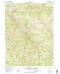
Other maps of this area

1891 · Downieville
USGS Topo · 1:125,000

1893 · Downieville
USGS Topo · 1:125,000

1895 · Downieville
USGS Topo · 1:125,000

1896 · Downieville
USGS Topo · 1:125,000

1897 · Downieville
USGS Topo · 1:125,000

1937 · Blairsden
USGS Topo · 1:48,000

1943 · Blairsden
USGS Topo · 1:62,500
1950 · Spring Garden
USGS Topo · 1:24,000
1950 · Quincy
USGS Topo · 1:24,000
1950 · Onion Valley
USGS Topo · 1:24,000