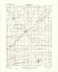
1907 Map of Bluffton
USGS Topo · Published 1933About this map
Bluffton serves as the central hub of this Northwest Ohio landscape, where the Northern Ohio RR and Lima Lake Erie and Western RR converge. The terrain is defined by an intricate network of drainage ditches and small runs, such as Moffitt Ditch and Homer Green Ditch, essential for the agricultural development of the surrounding townships like Richland and Orange. These watercourses reflect a period of intensive land reclamation, turning marshy ground into productive farmland.
Find a feature on this map
64 named features on this map. Tap any name to fly to it.
Don’t see what you’re looking for? This feature index may not catch every label — zoom into the map to look around manually.
Map Details
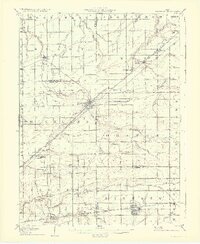
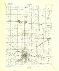
Editions of this 1907 Bluffton Map
3 editions found
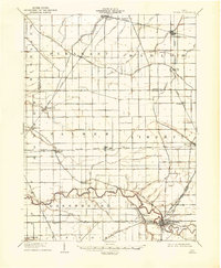
Other maps of this area
1903 · Findlay
USGS Topo · 1:62,500

1905 · Arlington
USGS Topo · 1:62,500

1906 · Lima
USGS Topo · 1:62,500

1906 · Columbus Grove
USGS Topo · 1:62,500

1907 · Bluffton
USGS Topo · 1:62,500

1907 · Arlington
USGS Topo · 1:24,000

1908 · Columbus Grove
USGS Topo · 1:62,500
1908 · Ottawa
USGS Topo · 1:62,500

1913 · Alger
USGS Topo · 1:48,000

1915 · Alger
USGS Topo · 1:62,500