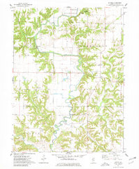
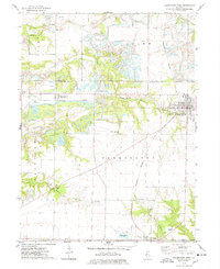
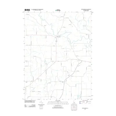
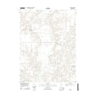
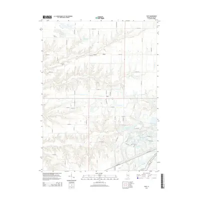
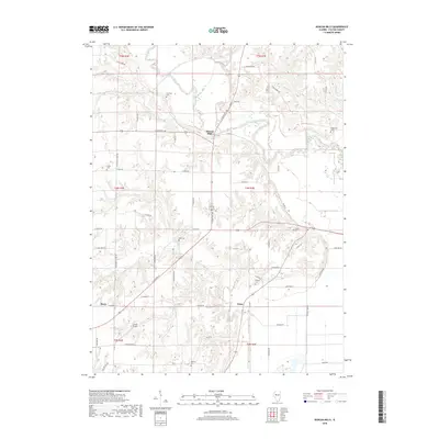
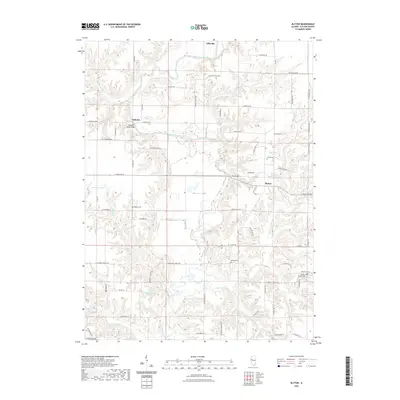
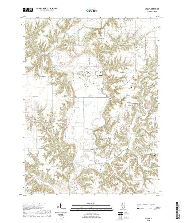
1974 Map of Blyton
USGS Topo · Published 1981About this map
The Spoon River meanders across this rural Fulton County landscape, carving deep valleys through the townships of Harris, Deerfield, Cass, and Ellisville. The map captures a moment in the mid-1970s where the terrain is defined by its complex drainage network, including Put Creek, Shoal Creek, and the Laswell Branch. Small settlements like Babylon and Blyton serve as local anchors, while the historic village of Ellisville is situated in the north along the river's bend.
Find a feature on this map
25 named features on this map. Tap any name to fly to it.
Don’t see what you’re looking for? This feature index may not catch every label — zoom into the map to look around manually.
Map Details
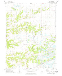
Editions of this 1974 Blyton Map
2 editions found
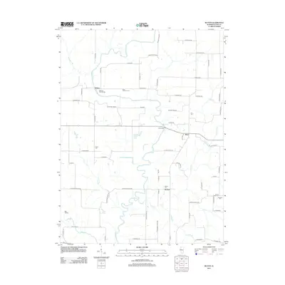
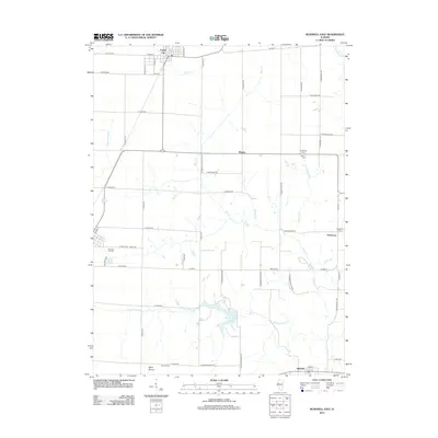
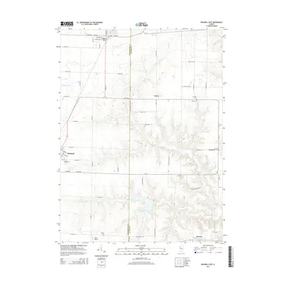
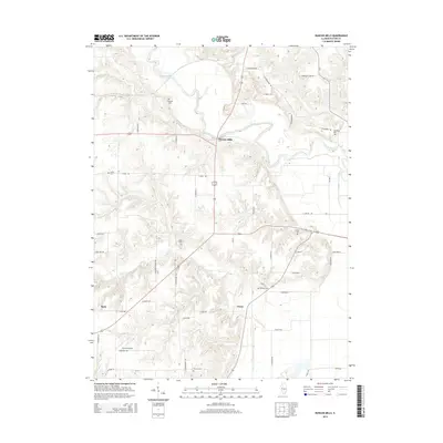
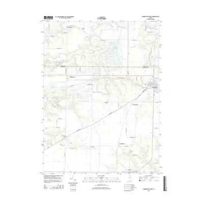
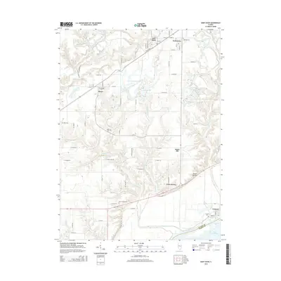
Historical Maps of Ellisville Through Time
35 maps found
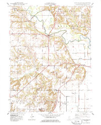
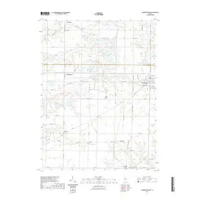
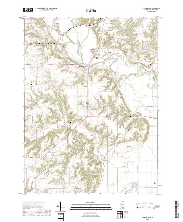
1948 Duncan Mills
Fulton County, IL
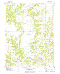
1974 Blyton
Fulton County, IL
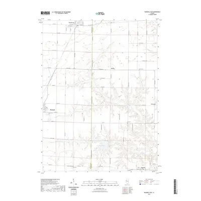
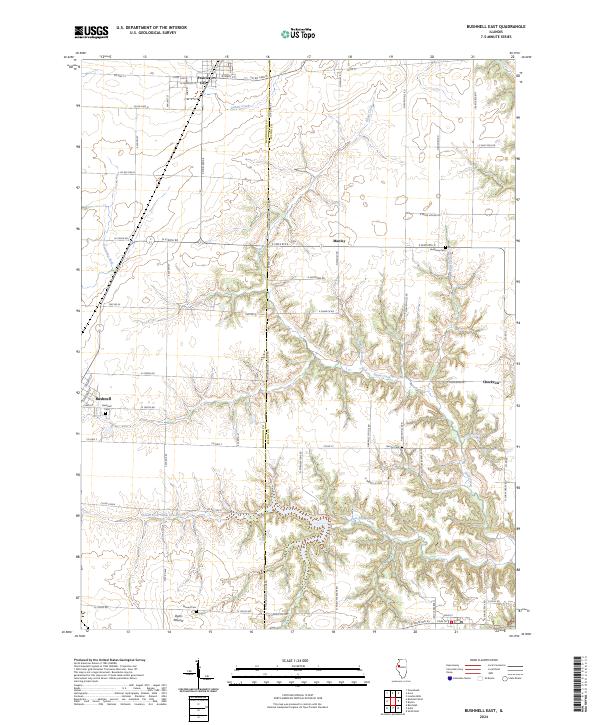
1974 Bushnell East
Fulton County, IL
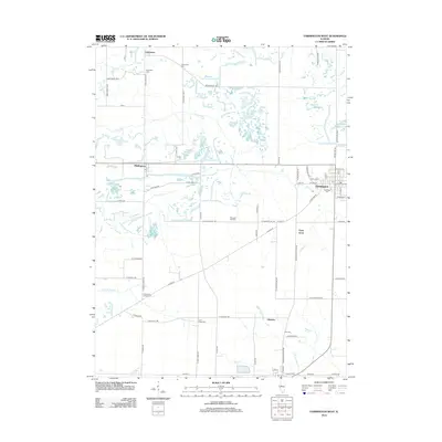
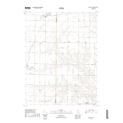
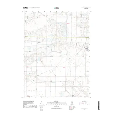
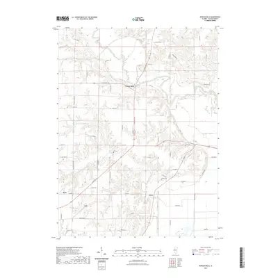
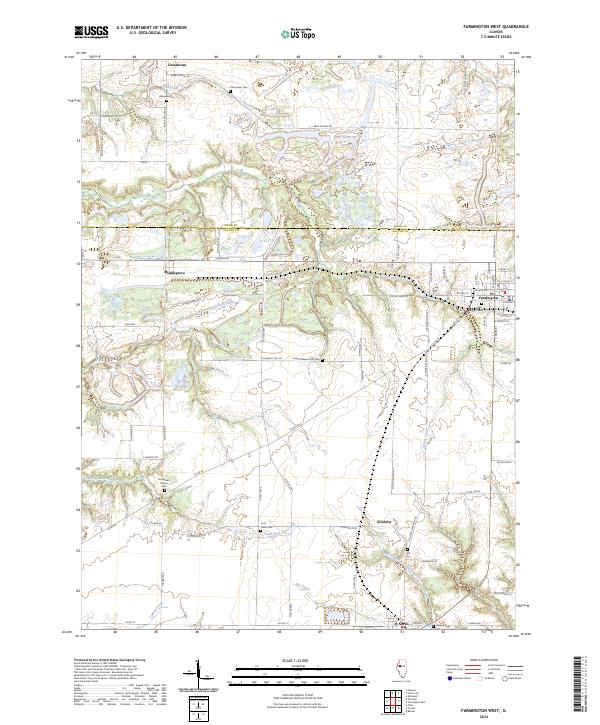
1974 Farmington West
Fulton County, IL
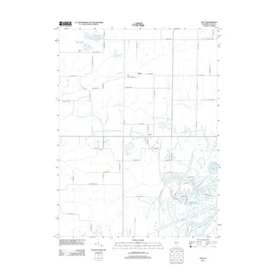
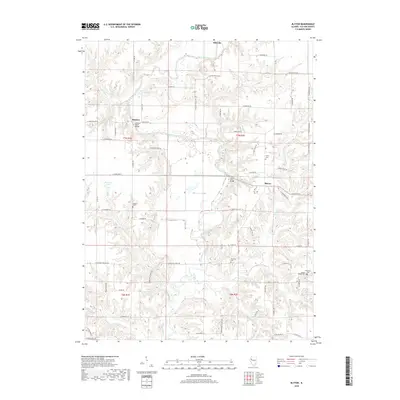
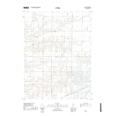
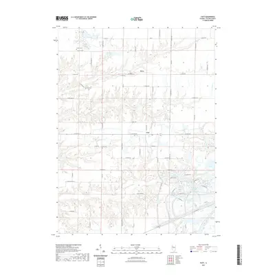
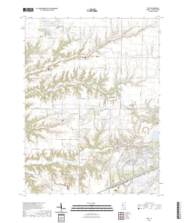
1974 Fiatt
Fulton County, IL
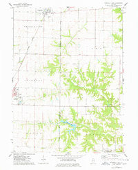
2012 Blyton
Fulton County, IL
2012 Bushnell East
Fulton County, IL
2012 Duncan Mills
Fulton County, IL
2012 Farmington West
Fulton County, IL
2012 Fiatt
Fulton County, IL
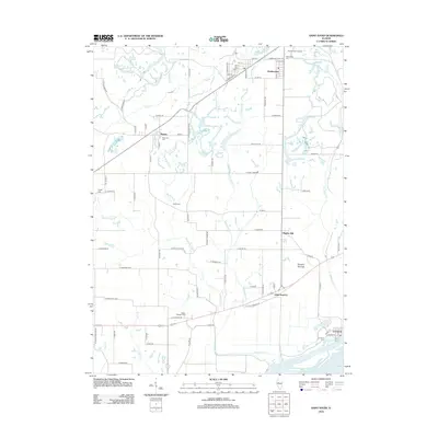
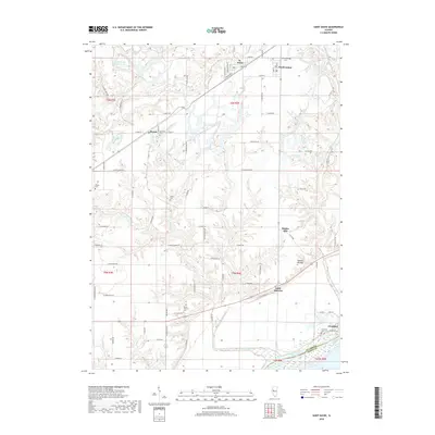
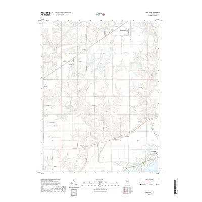
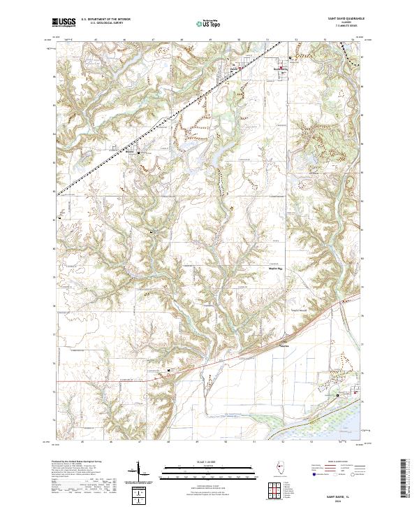
2012 Saint David
Fulton County, IL
2015 Blyton
Fulton County, IL
2015 Bushnell East
Fulton County, IL
2015 Duncan Mills
Fulton County, IL
2015 Farmington West
Fulton County, IL
2015 Fiatt
Fulton County, IL
2015 Saint David
Fulton County, IL
2018 Blyton
Fulton County, IL
2018 Bushnell East
Fulton County, IL
2018 Duncan Mills
Fulton County, IL
2018 Farmington West
Fulton County, IL
2018 Fiatt
Fulton County, IL
2018 Saint David
Fulton County, IL
2021 Blyton
Fulton County, IL
2021 Bushnell East
Fulton County, IL
2021 Duncan Mills
Fulton County, IL
2021 Farmington West
Fulton County, IL
2021 Fiatt
Fulton County, IL
2021 Saint David
Fulton County, IL
2024 Blyton
Fulton County, IL
2024 Bushnell East
Fulton County, IL
2024 Duncan Mills
Fulton County, IL
2024 Farmington West
Fulton County, IL
2024 Fiatt
Fulton County, IL
2024 Saint David
Fulton County, IL