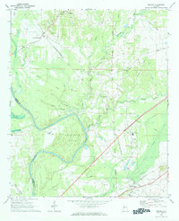
1970 Map of Boligee
USGS Topo · Published 1984About this map
Tombigbee River meanders sharply through the landscape, defining the western border between Sumter and Greene counties with dramatic features like Swilleys Bend. The area shows a rural settlement pattern deeply connected to the river and rail lines, anchored by the community of Boligee and smaller hamlets such as Lizzieville and Crawford Fork. Genealogists will find a high density of family and community landmarks, including Morning Star Ch, St Paula Ch, and several cemeteries such as Kirksey Cem and Morgan Cem. The industrial and educational infrastructure of the period is evident in the presence of the County Training School, the St Louis-San Francisco railroad grade, and active Gravel Pits. The low-lying terrain is marked by significant wetlands, most notably Cypress Swamp, which borders the primary river channel.
Find a feature on this map
40 named features on this map. Tap any name to fly to it.
Don’t see what you’re looking for? This feature index may not catch every label — zoom into the map to look around manually.
Map Details
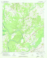
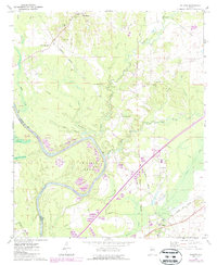
Editions of this 1970 Boligee Map
3 editions found
Other maps of this area

1927 · Eutaw
USGS Topo · 1:48,000

1929 · Epes
USGS Topo · 1:48,000

1931 · Eutaw
USGS Topo · 1:62,500

1932 · Epes
USGS Topo · 1:62,500

1947 · Forkland
USGS Topo · 1:24,000

1949 · Forkland
USGS Topo · 1:24,000

1953 · Montgomery
USGS Topo · 1:250,000

1953 · Meridian
USGS Topo · 1:250,000

1956 · Montgomery
USGS Topo · 1:250,000

1957 · Meridian
USGS Topo · 1:250,000