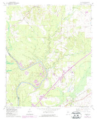
1970 Map of Boligee
USGS Topo · Published 1987About this map
Boligee and the surrounding Alabama Black Belt river country are captured here during a period of significant engineering change. The map shows the Tombigbee River as it enters Lake Demopolis, with revisions highlighting the development of the Tennessee-Tombigbee Waterway. This project dramatically reshaped the local hydrology, cutting through the distinctive loop of Swilleys Bend and creating extensive spoil areas along the banks.
Find a feature on this map
42 named features on this map. Tap any name to fly to it.
Don’t see what you’re looking for? This feature index may not catch every label — zoom into the map to look around manually.
Map Details
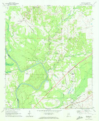
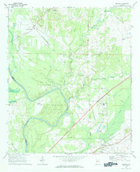
Editions of this 1970 Boligee Map
3 editions found
Other maps of this area

1927 · Eutaw
USGS Topo · 1:48,000

1929 · Epes
USGS Topo · 1:48,000

1931 · Eutaw
USGS Topo · 1:62,500

1932 · Epes
USGS Topo · 1:62,500

1947 · Forkland
USGS Topo · 1:24,000

1949 · Forkland
USGS Topo · 1:24,000

1953 · Montgomery
USGS Topo · 1:250,000

1953 · Meridian
USGS Topo · 1:250,000

1956 · Montgomery
USGS Topo · 1:250,000

1957 · Meridian
USGS Topo · 1:250,000