
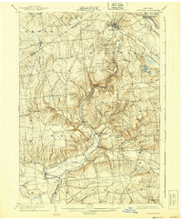
1904 Map of Boonville
USGS Topo · Published 1904About this map
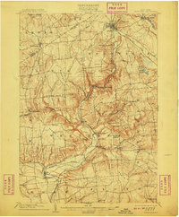
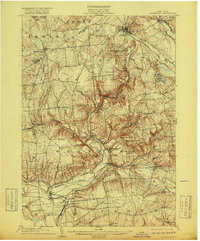
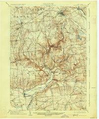
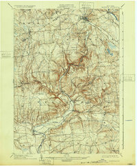
The Black River Canal serves as the industrial spine of this upper New York state landscape, winding through the valley alongside the Black River and the tracks of the N. Y. C. and H. R. R. R. through Boonville. This engineering corridor provided a vital link between the Mohawk River drainage and the northern Adirondack foothills during the early twentieth century. Further south, the map details the rural character of settlements like Westernville and North Western, where numerous hills like Potato Hill and Buck Hill create a complex topography of ridges and narrow creek valleys. Genealogists will find many small, vanished hamlets and community centers including Frenchville, Big Brook, and the South Hill Church. The confluence of water and rail in the north, contrasted with the agricultural upland to the south, reveals the distinct transport-driven economy of the era.
Find a feature on this map
62 named features on this map. Tap any name to fly to it.
Don’t see what you’re looking for? This feature index may not catch every label — zoom into the map to look around manually.
Map Details
Editions of this 1904 Boonville Map
6 editions found
Other maps of this area

1895 · Oriskany
USGS Topo · 1:62,500

1895 · Oneida
USGS Topo · 1:62,500

1897 · Remsen
USGS Topo · 1:62,500

1898 · Oneida
USGS Topo · 1:62,500

1898 · Utica
USGS Topo · 1:62,500

1898 · Oriskany
USGS Topo · 1:62,500

1900 · Utica
USGS Topo · 1:62,500

1900 · Remsen
USGS Topo · 1:62,500

1902 · Oneida
USGS Topo · 1:62,500

1905 · Port Leyden
USGS Topo · 1:62,500