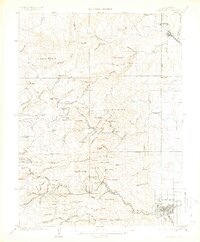
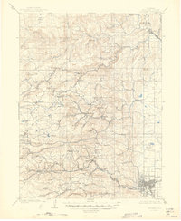
1904 Map of Boulder
USGS Topo · Published 1913About this map
The Colorado and Northwestern RR snakes through the canyon country west of Boulder, serving a landscape defined by turn-of-the-century mining and mountain tourism. This 1904 survey illustrates the dense concentration of camps and settlements that once thrived along the creeks, from the milling activity at Wallstreet and Crisman to the high-elevation reach of Gold Hill Sta.. The infrastructure of the extractive economy is visible in features like the Golden Rule Mining Co. Ditch near Bald Mt., while recreation and early mountain retreats appear at Mont Alto Park and Sunset. To the north, the confluence of North St. Vrain Creek and South St. Vrain Creek at Lyons marks the gateway to the foothills. This document preserves the locations of numerous small communities such as Balarat, Jamestown, and Springdale before the modern reconfiguration of the Front Range foothills.
Find a feature on this map
110 named features on this map. Tap any name to fly to it.
Don’t see what you’re looking for? This feature index may not catch every label — zoom into the map to look around manually.
Map Details
Editions of this 1904 Boulder Map
6 editions found
Other maps of this area

1899 · West Denver
USGS Topo · 1:125,000

1902 · Boulder
USGS Topo · 1:62,500

1904 · Niwot
USGS Topo · 1:62,500

1904 · Boulder
USGS Topo · 1:62,500

1905 · Central City
USGS Topo · 1:62,500

1905 · Mount Olympus
USGS Topo · 1:62,500

1906 · Blackhawk
USGS Topo · 1:62,500

1906 · Loveland
USGS Topo · 1:62,500

1907 · Mount Olympus
USGS Topo · 1:62,500

1908 · Loveland
USGS Topo · 1:62,500