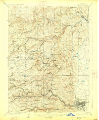
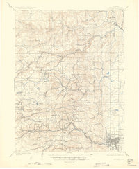
1904 Map of Boulder
USGS Topo · Published 1926About this map
Mining settlements and rugged canyon camps define this landscape during the peak years of Colorado's hard-rock extraction. The steep terrain of the Colorado National Forest is etched with the intricate infrastructure of the Colorado and Northwestern RR, which snakes through the foothills to serve remote outposts like Wallstreet, Crisman, and Salina. At higher elevations, the Golden Rule Mining Co Ditch underscores the hydraulic demands of industrial mining near Cannon Mt.
Find a feature on this map
83 named features on this map. Tap any name to fly to it.
Don’t see what you’re looking for? This feature index may not catch every label — zoom into the map to look around manually.
Map Details
Editions of this 1904 Boulder Map
6 editions found
Other maps of this area

1899 · West Denver
USGS Topo · 1:125,000

1902 · Boulder
USGS Topo · 1:62,500

1904 · Niwot
USGS Topo · 1:62,500

1904 · Boulder
USGS Topo · 1:62,500

1905 · Central City
USGS Topo · 1:62,500

1905 · Mount Olympus
USGS Topo · 1:62,500

1906 · Blackhawk
USGS Topo · 1:62,500

1906 · Loveland
USGS Topo · 1:62,500

1907 · Mount Olympus
USGS Topo · 1:62,500

1908 · Loveland
USGS Topo · 1:62,500