
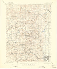
1904 Map of Boulder
USGS Topo · Published 1904About this map
Mining camps and narrow-gauge rail lines define the landscape of the Front Range during the peak of the Colorado gold boom. The Colorado and Northwestern R.R. winds through the steep canyons, connecting critical hubs like Sunset and Gold Hill Sta. to the growing city of Boulder in the valley below. This network provided the essential lifeline for extracting wealth from hillsides dotted with operations like the Golden Rule Mining Co. Ditch.
Find a feature on this map
99 named features on this map. Tap any name to fly to it.
Don’t see what you’re looking for? This feature index may not catch every label — zoom into the map to look around manually.
Map Details
Editions of this 1904 Boulder Map
6 editions found
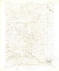
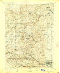
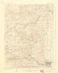
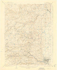
Other maps of this area

1899 · West Denver
USGS Topo · 1:125,000

1902 · Boulder
USGS Topo · 1:62,500

1904 · Niwot
USGS Topo · 1:62,500

1905 · Central City
USGS Topo · 1:62,500

1905 · Mount Olympus
USGS Topo · 1:62,500

1906 · Blackhawk
USGS Topo · 1:62,500

1906 · Loveland
USGS Topo · 1:62,500

1907 · Mount Olympus
USGS Topo · 1:62,500

1908 · Loveland
USGS Topo · 1:62,500

1910 · Central City
USGS Topo · 1:62,500