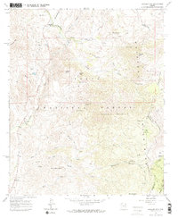
1964 Map of Boulder Mtn
USGS Topo · Published 1971About this map
Mazatzal Mountains and the Tonto National Forest dominate this 1960s landscape, where the high desert meets the rugged peaks of central Arizona. The area is marked by a legacy of ranching and resource extraction, anchored by the Diamond Ranch and the small settlement of Sunflower near the junction of Sycamore Creek and Kitty Joe Canyon.
Find a feature on this map
52 named features on this map. Tap any name to fly to it.
Don’t see what you’re looking for? This feature index may not catch every label — zoom into the map to look around manually.
Map Details
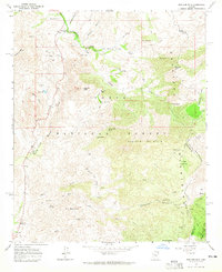
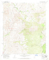
Editions of this 1964 Boulder Mtn Map
3 editions found
Other maps of this area

1904 · Ft. McDowell
USGS Topo · 1:62,500

1906 · Ft. McDowell
USGS Topo · 1:62,500

1907 · Roosevelt
USGS Topo · 1:125,000

1909 · Four Peaks
USGS Topo · 1:125,000

1912 · Roosevelt
USGS Topo · 1:125,000

1930 · Cave Creek
USGS Topo · 1:125,000

1939 · Cave Creek
USGS Topo · 1:125,000

1954 · Mesa
USGS Topo · 1:250,000

1957 · Mesa
USGS Topo · 1:250,000

1958 · Mesa
USGS Topo · 1:250,000