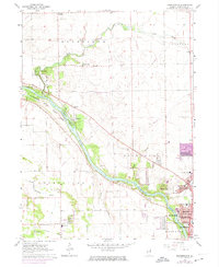
1963 Map of Bourbonnais
USGS Topo · Published 1974About this map
Kankakee River State Park dominates the river corridor in this mid-century survey, preserving the wooded bluffs and islands of the Kankakee River as urban expansion begins to reach northward from Bradley. The map illustrates a landscape in transition, where established rural communities like Deselm and Altorf are mapped alongside the burgeoning campuses of Olivet College and new residential developments. Significant river features such as Willow Island and Langham Island are detailed, as are the numerous quarries and gravel pits that underscore the area's geological and industrial utility.
Find a feature on this map
51 named features on this map. Tap any name to fly to it.
Don’t see what you’re looking for? This feature index may not catch every label — zoom into the map to look around manually.
Map Details
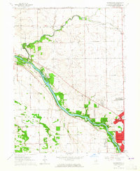
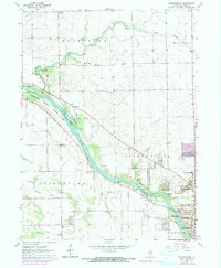
Editions of this 1963 Bourbonnais Map
3 editions found
Other maps of this area

1892 · Wilmington
USGS Topo · 1:62,500

1918 · Wilmington
USGS Topo · 1:62,500

1922 · Kankakee
USGS Topo · 1:62,500

1923 · Herscher
USGS Topo · 1:62,500

1924 · Kankakee
USGS Topo · 1:62,500

1925 · Herscher
USGS Topo · 1:62,500

1949 · Peotone
USGS Topo · 1:62,500

1953 · Peotone
USGS Topo · 1:24,000

1953 · Wilton Center
USGS Topo · 1:24,000

1953 · Symerton
USGS Topo · 1:24,000