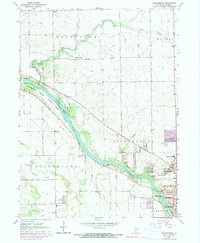
1963 Map of Bourbonnais
USGS Topo · Published 1991About this map
The Kankakee River carves a deep southwest path through this Illinois landscape, flanked by the sprawling Kankakee River State Park. Within the river's channel, Willow Island and Langham Island stand out as prominent geological features. In the early 1960s, the northern reaches were defined by smaller agrarian clusters like Deselm and Flickerville, while the southeastern corner shows the increasing urbanization of Bourbonnais, Bradley, and Kankakee.
Find a feature on this map
52 named features on this map. Tap any name to fly to it.
Don’t see what you’re looking for? This feature index may not catch every label — zoom into the map to look around manually.
Map Details
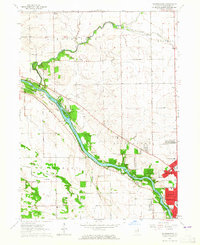
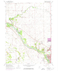
Editions of this 1963 Bourbonnais Map
3 editions found
Other maps of this area

1892 · Wilmington
USGS Topo · 1:62,500

1918 · Wilmington
USGS Topo · 1:62,500

1922 · Kankakee
USGS Topo · 1:62,500

1923 · Herscher
USGS Topo · 1:62,500

1924 · Kankakee
USGS Topo · 1:62,500

1925 · Herscher
USGS Topo · 1:62,500

1949 · Peotone
USGS Topo · 1:62,500

1953 · Peotone
USGS Topo · 1:24,000

1953 · Wilton Center
USGS Topo · 1:24,000

1953 · Symerton
USGS Topo · 1:24,000