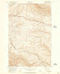
1953 Map of Boylston
USGS Topo · Published 1957About this map
Chicago Milwaukee St Paul and Pacific rail lines dominate the southern landscape of this 1950s survey, threading through the high elevations of the Boylston Mountains. The settlement of Boylston serves as a key junction where the railroad meets Johnson Canyon, while the siding at Chevlot appears further east along the tracks. This terrain is defined by its deep drainage patterns and volcanic-looking ridges, featuring prominent geological formations like Rocky Coulee and Schnebly Coulee.
Find a feature on this map
15 named features on this map. Tap any name to fly to it.
Don’t see what you’re looking for? This feature index may not catch every label — zoom into the map to look around manually.
Map Details
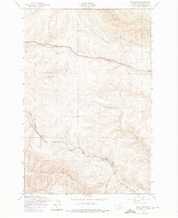
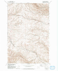
Editions of this 1953 Boylston Map
3 editions found
Other maps of this area

1920 · Colockum Pass
USGS Topo · 1:125,000

1922 · Colockum Pass
USGS Topo · 1:125,000

1938 · Badger Pocket
USGS Topo · 1:48,000

1939 · Boylston
USGS Topo · 1:48,000

1943 · Boylston
USGS Topo · 1:62,500

1943 · Badger Pocket
USGS Topo · 1:62,500

1950 · Yakima
USGS Topo · 1:250,000

1953 · McDonald Spring
USGS Topo · 1:24,000

1953 · Ginkgo
USGS Topo · 1:24,000
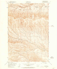
1953 · Doris
USGS Topo · 1:24,000