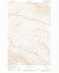
1953 Map of Boylston
USGS Topo · Published 1975About this map
Chicago Milwaukee St Paul and Pacific rail lines dominate this mid-century topographic survey of the Yakima River watershed's high country. The route winds through the Boylston Mountains, connecting the small railroad settlements of Boylston and Cheviot. This landscape is defined by its dramatic erosion patterns, featuring the deep incisions of Schnebly Coulee and Rocky Coulee as they descend toward the Columbia basin. Vital water sources like Pinson Spring and Foster Spring provided the necessary resources for early high-desert activity, while the modern era is marked by the presence of the Kittitas Micro-Wave Sta Tower. The map provides a detailed view of the terrain before major development, documenting the winding course of Whiskey Dick Creek and the steep walls of Johnson Canyon.
Find a feature on this map
15 named features on this map. Tap any name to fly to it.
Don’t see what you’re looking for? This feature index may not catch every label — zoom into the map to look around manually.
Map Details
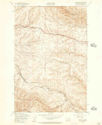
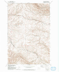
Editions of this 1953 Boylston Map
3 editions found
Other maps of this area

1920 · Colockum Pass
USGS Topo · 1:125,000

1922 · Colockum Pass
USGS Topo · 1:125,000

1938 · Badger Pocket
USGS Topo · 1:48,000

1939 · Boylston
USGS Topo · 1:48,000

1943 · Boylston
USGS Topo · 1:62,500

1943 · Badger Pocket
USGS Topo · 1:62,500

1950 · Yakima
USGS Topo · 1:250,000

1953 · McDonald Spring
USGS Topo · 1:24,000

1953 · Ginkgo
USGS Topo · 1:24,000
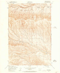
1953 · Doris
USGS Topo · 1:24,000