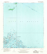
1958 Map of Breton Island
USGS Topo · Published 1970About this map
Breton National Wildlife Refuge and Delta National Wildlife Refuge dominate this coastal landscape at the mouth of the Mississippi River. The geography is defined by a complex network of passes and bayous, including Bienvenue Pass, Octave Pass, and Main Pass. This late 1950s survey reveals the industrial character of the Louisiana coast, specifically highlighting the Romere Pass Oil and Gas Field and the Delta Duck Oil Field.
Find a feature on this map
53 named features on this map. Tap any name to fly to it.
Don’t see what you’re looking for? This feature index may not catch every label — zoom into the map to look around manually.
Map Details
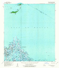
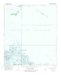
Editions of this 1958 Breton Island Map
3 editions found
Other maps of this area

1893 · East Delta
USGS Topo · 1:62,500

1893 · La Fortuna
USGS Topo · 1:62,500

1893 · Forts
USGS Topo · 1:62,500

1893 · West Delta
USGS Topo · 1:62,500

1935 · Taylor Pass
USGS Topo · 1:31,680

1947 · Pass A Loutre West
USGS Topo · 1:31,680

1947 · Venice
USGS Topo · 1:31,680

1947 · Main Pass
USGS Topo · 1:31,680

1947 · Pass A Loutre East
USGS Topo · 1:31,680

1948 · Forts
USGS Topo · 1:62,500