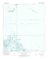
1958 Map of Breton Island
USGS Topo · Published 1977About this map
Breton Island and its surrounding archipelago anchor this coastal survey, where the shifting sands of the Mississippi River delta meet the Gulf of Mexico. The landscape is dominated by the Breton National Wildlife Refuge and the Delta National Wildlife Refuge, protecting a complex network of bayous and ponds such as Spoonbill Bend, Lake Romere, and Blackbird Pond. Navigational markers like the Breton Island Light and Cubits Gap Main Pass Lt define the maritime routes through these tidal flats.
Find a feature on this map
68 named features on this map. Tap any name to fly to it.
Don’t see what you’re looking for? This feature index may not catch every label — zoom into the map to look around manually.
Map Details
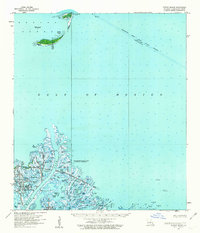
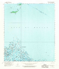
Editions of this 1958 Breton Island Map
3 editions found
Other maps of this area

1893 · East Delta
USGS Topo · 1:62,500

1893 · La Fortuna
USGS Topo · 1:62,500

1893 · Forts
USGS Topo · 1:62,500

1893 · West Delta
USGS Topo · 1:62,500

1935 · Taylor Pass
USGS Topo · 1:31,680

1947 · Pass A Loutre West
USGS Topo · 1:31,680

1947 · Venice
USGS Topo · 1:31,680

1947 · Main Pass
USGS Topo · 1:31,680

1947 · Pass A Loutre East
USGS Topo · 1:31,680

1948 · Forts
USGS Topo · 1:62,500