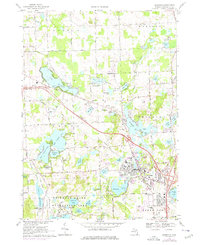
1968 Map of Brighton
USGS Topo · Published 1976About this map
The town of Brighton serves as the hub of this Livingston County landscape, situated at the intersection of emerging modern highway routes and the historic Chesapeake and Ohio railroad corridor. The area's transition into a regional recreation center is evident through the extensive Brighton State Recreation Area to the southwest and the Mt Brighton Ski Area overlooking the town. Further north, specialized land use is marked by the City of Detroit Recreation Camp near Euler Lake.
Find a feature on this map
64 named features on this map. Tap any name to fly to it.
Don’t see what you’re looking for? This feature index may not catch every label — zoom into the map to look around manually.
Map Details
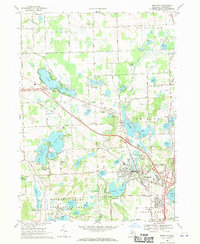
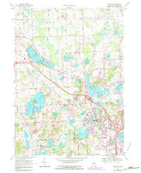
Editions of this 1968 Brighton Map
3 editions found
Other maps of this area

1902 · South Lyon
USGS Topo · 1:62,500

1902 · Dexter
USGS Topo · 1:62,500

1904 · Ann Arbor
USGS Topo · 1:125,000

1906 · Dexter
USGS Topo · 1:62,500

1906 · South Lyon
USGS Topo · 1:62,500

1907 · Howell
USGS Topo · 1:62,500

1908 · Ann Arbor
USGS Topo · 1:125,000

1909 · Howell
USGS Topo · 1:62,500

1909 · Milford
USGS Topo · 1:62,500

1954 · Detroit
USGS Topo · 1:250,000
Featured Places
- Hamburg Township, MI
- Genoa Charter Township, MI
- Green Oak Charter Township, MI
- Brighton Charter Township, MI
- Hartland Township, MI