1915 Map of Brinkhaven
USGS Topo · Published 1925About this map
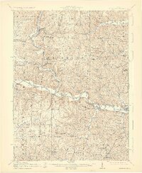
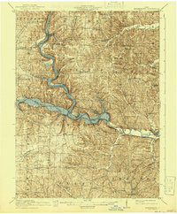
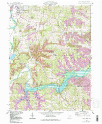
The confluence of the Kokosing River and the Mohican River forms the headwaters of the Walhonding River here in the central Ohio hill country. This 1912-1913 survey by W.J. Lloyd and Frank W. Hughes reveals a landscape dominated by the Pennsylvania railroad line, which follows the river valleys and serves small agricultural and transit hubs. Settlements like Brinkhaven and Walhonding are the primary nodes of commerce, while the interior is densely peppered with one-room schoolhouses and family chapels, such as Wilson Chapel and Demuis Chapel. The presence of Cavallo Sta Wintergreen PO and Nellie Mohawk Sta indicates the vital importance of rail-to-postal connections in this era. The terrain is characterized by dissected ridges including Turkey Ridge and Rabbit Ridge, which separate the various creek drainage basins like Wakatomika Creek and Killbuck Creek.
Find a feature on this map
91 named features on this map. Tap any name to fly to it.
Don’t see what you’re looking for? This feature index may not catch every label — zoom into the map to look around manually.
Map Details
Editions of this 1915 Brinkhaven Map
2 editions found
Historical Maps of Tiverton Center Through Time
13 maps found

1913 Brinkhaven
Coshocton County, OH
1915 Brinkhaven
Coshocton County, OH
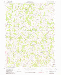
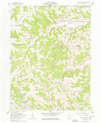
1961 New Bedford
Coshocton County, OH
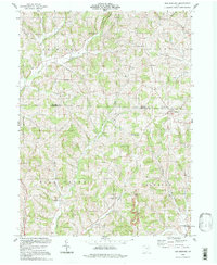
1962 Randle
Coshocton County, OH
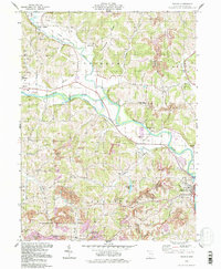
1962 Spring Mountain
Coshocton County, OH
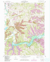
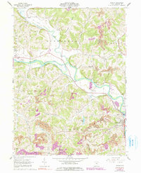
1962 Wills Creek
Coshocton County, OH
1994 New Bedford
Coshocton County, OH
1994 Randle
Coshocton County, OH
1994 Wills Creek
Coshocton County, OH
2023 New Bedford
Coshocton County, OH
2023 Randle
Coshocton County, OH
2023 Spring Mountain
Coshocton County, OH
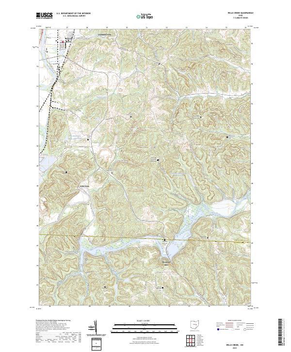
2023 Wills Creek
Coshocton County, OH