
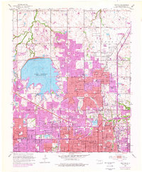
1951 Map of Britton
USGS Topo · Published 1952About this map
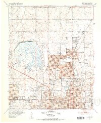
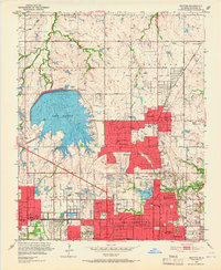
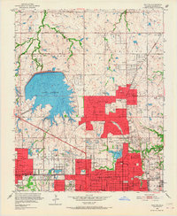
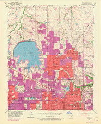
Lake Hefner dominates the western half of this 1951 landscape, serving as a massive reservoir just as the suburban expansion of northern Oklahoma City begins to accelerate. To the east, the established community of Britton and the growing residential enclaves of The Village and Nichols Hills showcase the post-war transition from rural oil fields to structured neighborhoods. The map captures a dense network of local education and community infrastructure, including the Casady School, West Nichols Hills School, and the Oklahoma City Country Club.
Find a feature on this map
102 named features on this map. Tap any name to fly to it.
Don’t see what you’re looking for? This feature index may not catch every label — zoom into the map to look around manually.
Map Details
Editions of this 1951 Britton Map
6 editions found
Other maps of this area

1892 · Moore
USGS Topo · 1:62,500

1892 · Edmond
USGS Topo · 1:62,500

1892 · Kingfisher
USGS Topo · 1:125,000

1893 · Oklahoma City
USGS Topo · 1:62,500

1895 · Kingfisher
USGS Topo · 1:125,000

1898 · Purcell
USGS Topo · 1:125,000

1904 · Chickasha
USGS Topo · 1:125,000

1934 · Crutcho Creek
USGS Topo · 1:24,000

1934 · Moore
USGS Topo · 1:62,500

1935 · Spencer
USGS Topo · 1:24,000