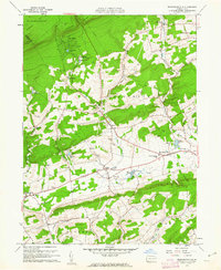
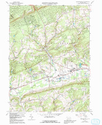
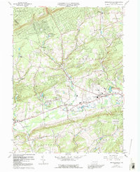
1960 Map of Broadheadsville
USGS Topo · Published 1962About this map
Brodheadsville and the surrounding villages of Effort and Gilbert anchor this mid-century look at the Pennsylvania landscape where the Pocono Mtns meet the agricultural valleys of Chestnut Hill. The map documents a community defined by its rural infrastructure, featuring landmarks like the Fairground near Gilbert and the Pleasant Valley Sch. Religious and civic life is centered at St Johns Ch, Kingdom Ch, and the Zion Ch in the village centers.
Find a feature on this map
41 named features on this map. Tap any name to fly to it.
Don’t see what you’re looking for? This feature index may not catch every label — zoom into the map to look around manually.
Map Details
Editions of this 1960 Broadheadsville Map
7 editions found
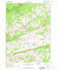

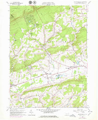
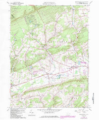
Other maps of this area

1914 · Wind Gap
USGS Topo · 1:62,500

1916 · Wind Gap
USGS Topo · 1:62,500

1919 · Pocono
USGS Topo · 1:62,500

1921 · Pocono
USGS Topo · 1:62,500

1922 · Mauch Chunk
USGS Topo · 1:62,500

1922 · Stoddartsville
USGS Topo · 1:62,500

1923 · Pocono
USGS Topo · 1:62,500

1924 · Stoddartsville
USGS Topo · 1:62,500

1924 · Mauch Chunk
USGS Topo · 1:62,500

1943 · Scranton
USGS Topo · 1:125,000
Featured Places
- Eldred Township, PA
- Brodheadsville, Chestnuthill Township
- Penn Forest Township, PA
- Chestnuthill Township, PA
- Tunkhannock Township, PA