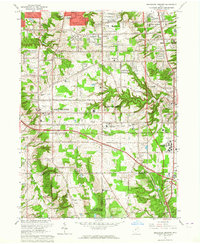
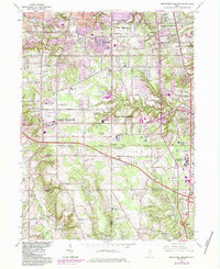
1963 Map of Broadview Heights
USGS Topo · Published 1964About this map
The Cleveland Ordnance Plant (US Military Res) anchors the southern reaches of this landscape, marking a period of significant federal and institutional presence in the region. To the north and east, the burgeoning residential expansion of Broadview Heights and North Royalton is evident, characterized by numerous local schools like Blossom Hill Sch and Hillside Jr High Sch. The map documents a critical era of infrastructure development as the Ohio Turnpike cuts across the terrain, intersecting with established routes like Royalton-Brecksville Road.
Find a feature on this map
67 named features on this map. Tap any name to fly to it.
Don’t see what you’re looking for? This feature index may not catch every label — zoom into the map to look around manually.
Map Details
Editions of this 1963 Broadview Heights Map
5 editions found
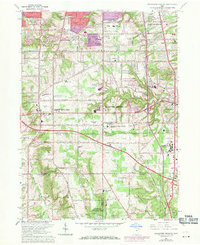
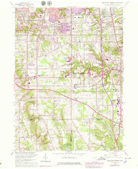
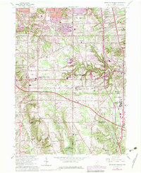
Other maps of this area

1902 · Berea
USGS Topo · 1:62,500

1903 · Cleveland
USGS Topo · 1:62,500

1903 · Akron
USGS Topo · 1:62,500

1904 · Berea
USGS Topo · 1:62,500

1904 · Medina
USGS Topo · 1:62,500

1905 · Akron
USGS Topo · 1:62,500

1906 · Medina
USGS Topo · 1:62,500

1950 · Cleveland
USGS Topo · 1:250,000

1953 · Shaker Heights
USGS Topo · 1:24,000

1953 · Broadview Heights
USGS Topo · 1:24,000