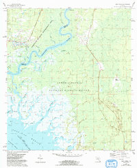
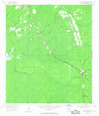
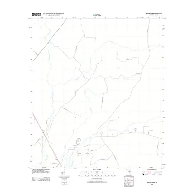
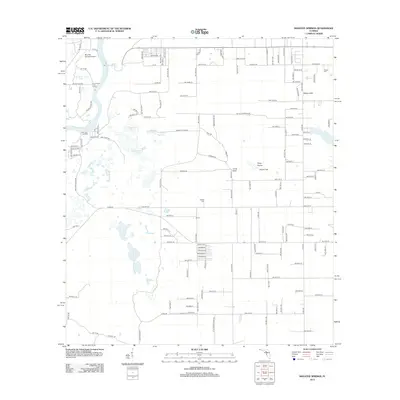
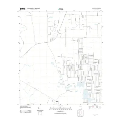
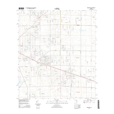
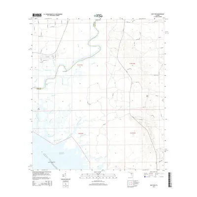
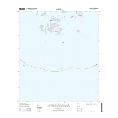
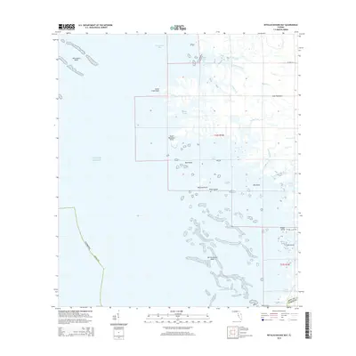
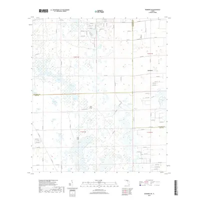
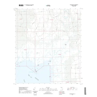
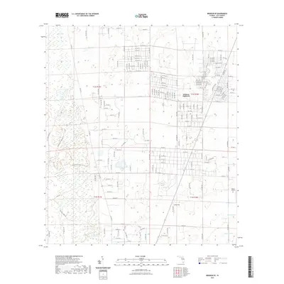
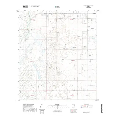
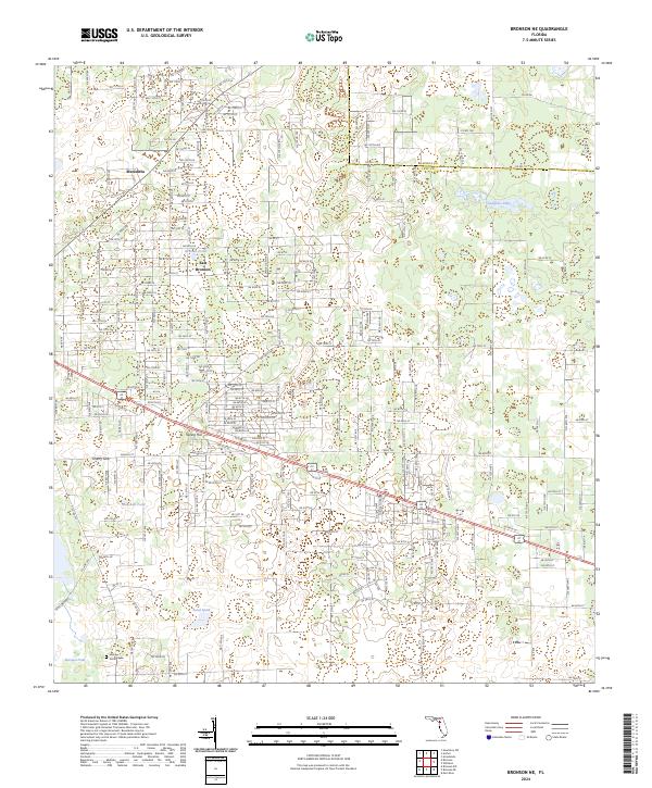
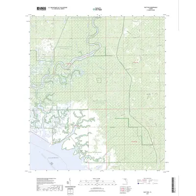
1955 Map of Bronson SE
USGS Topo · Published 1975About this map
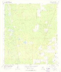
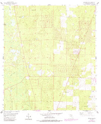
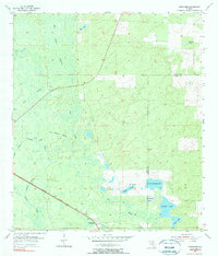
Low-lying cypress heads and seasonal ponds dominate this mid-century landscape in Levy County, reflecting the natural hydrography of the Florida Gulf Hammock region. Settlement is sparse, anchored primarily by Big Wolf Arbor at the southern edge, with the surrounding terrain defined by a network of drainage ways and sinks typical of karst topography. Moving through the western section, the drainage of Black Prong and Magee Branch feeds into a complex of wetlands, while internal basins like Wolf Sink and Sage Pond illustrate the area’s localized water table variations.
Find a feature on this map
12 named features on this map. Tap any name to fly to it.
Don’t see what you’re looking for? This feature index may not catch every label — zoom into the map to look around manually.
Map Details
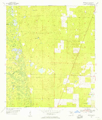
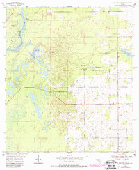
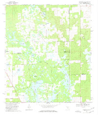
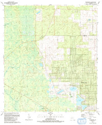
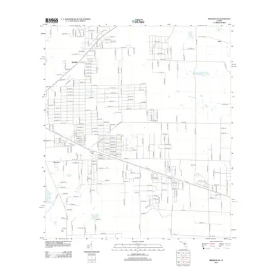
Editions of this 1955 Bronson SE Map
3 editions found
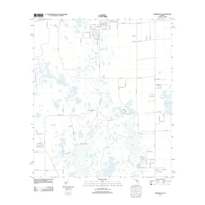
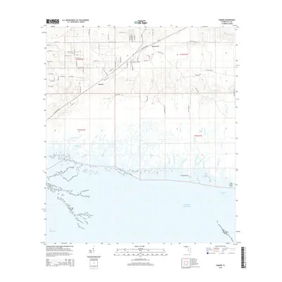
Historical Maps of Williston Highlands Through Time
93 maps found
1954 Bronson SW
Levy County, FL
1954 Chiefland SW
Levy County, FL
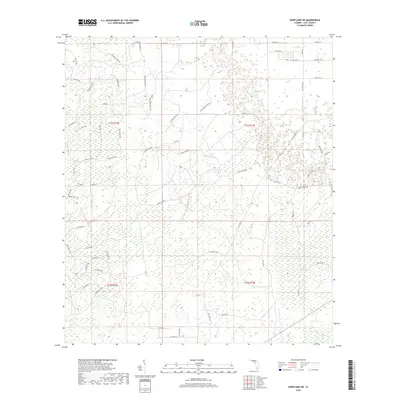
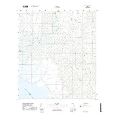
1954 East Pass
Levy County, FL
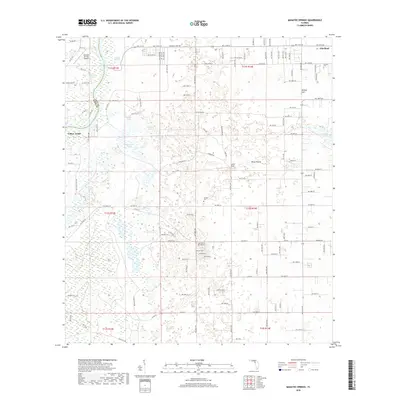
1954 Manatee Springs
Levy County, FL
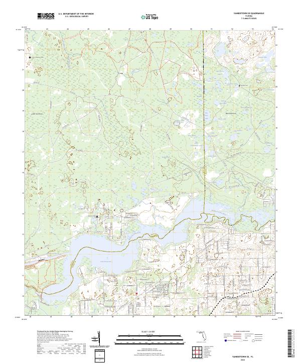
1954 Yankeetown SE
Levy County, FL
1955 Bronson NE
Levy County, FL
1955 Bronson SE
Levy County, FL
1955 Lebanon Station
Levy County, FL
1955 Seahorse Key
Levy County, FL
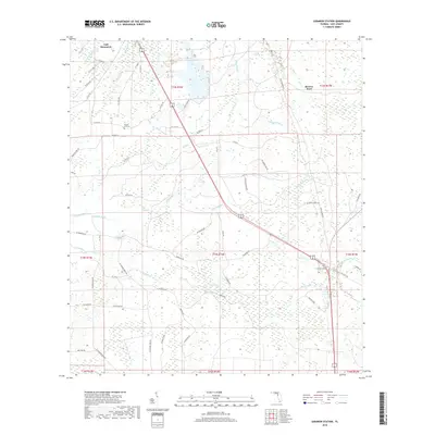
1955 Sumner
Levy County, FL
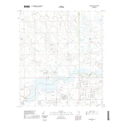
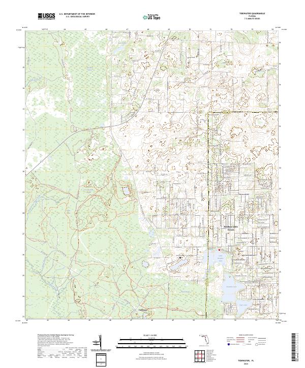
1955 Tidewater
Levy County, FL
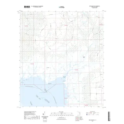
1955 Waccasassa Bay
Levy County, FL
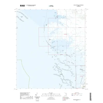
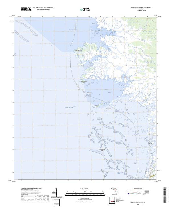
1955 Withlacoochee Bay
Levy County, FL
1957 Bronson SE
Levy County, FL
1968 Lebanon Station
Levy County, FL
1968 Newberry SW
Levy County, FL
1991 Tidewater
Levy County, FL

1991 Yankeetown SE
Levy County, FL
2012 Bronson NE
Levy County, FL

2012 Bronson SE
Levy County, FL
2012 Bronson SW
Levy County, FL
2012 Chiefland SW
Levy County, FL
2012 East Pass
Levy County, FL
2012 Lebanon Station
Levy County, FL
2012 Manatee Springs
Levy County, FL
2012 Newberry SW
Levy County, FL
2012 Seahorse Key
Levy County, FL
2012 Sumner
Levy County, FL
2012 Tidewater
Levy County, FL
2012 Waccasassa Bay
Levy County, FL
2012 Withlacoochee Bay
Levy County, FL
2012 Yankeetown SE
Levy County, FL
2015 Bronson NE
Levy County, FL
2015 Bronson SE
Levy County, FL
2015 Bronson SW
Levy County, FL
2015 Chiefland SW
Levy County, FL
2015 East Pass
Levy County, FL
2015 Lebanon Station
Levy County, FL
2015 Manatee Springs
Levy County, FL
2015 Newberry SW
Levy County, FL
2015 Seahorse Key
Levy County, FL
2015 Sumner
Levy County, FL
2015 Tidewater
Levy County, FL
2015 Waccasassa Bay
Levy County, FL
2015 Withlacoochee Bay
Levy County, FL
2015 Yankeetown SE
Levy County, FL
2018 Bronson NE
Levy County, FL

2018 Bronson SE
Levy County, FL
2018 Bronson SW
Levy County, FL
2018 Chiefland SW
Levy County, FL
2018 East Pass
Levy County, FL
2018 Lebanon Station
Levy County, FL
2018 Manatee Springs
Levy County, FL
2018 Newberry SW
Levy County, FL
2018 Seahorse Key
Levy County, FL
2018 Sumner
Levy County, FL
2018 Tidewater
Levy County, FL
2018 Waccasassa Bay
Levy County, FL
2018 Withlacoochee Bay
Levy County, FL
2018 Yankeetown SE
Levy County, FL
2021 Bronson NE
Levy County, FL
2021 Bronson SE
Levy County, FL
2021 Bronson SW
Levy County, FL
2021 Chiefland SW
Levy County, FL

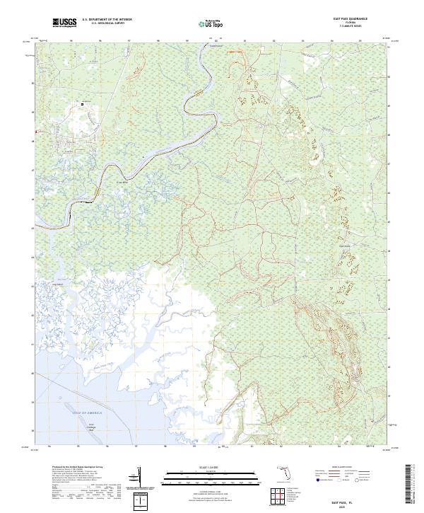
2021 East Pass
Levy County, FL
2021 Lebanon Station
Levy County, FL
2021 Manatee Springs
Levy County, FL
2021 Newberry SW
Levy County, FL
2021 Seahorse Key
Levy County, FL

2021 Sumner
Levy County, FL
2021 Tidewater
Levy County, FL
2021 Waccasassa Bay
Levy County, FL
2021 Withlacoochee Bay
Levy County, FL
2021 Yankeetown SE
Levy County, FL
2024 Bronson NE
Levy County, FL
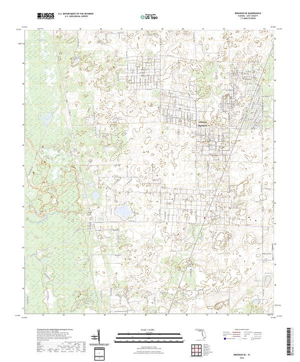
2024 Bronson SE
Levy County, FL
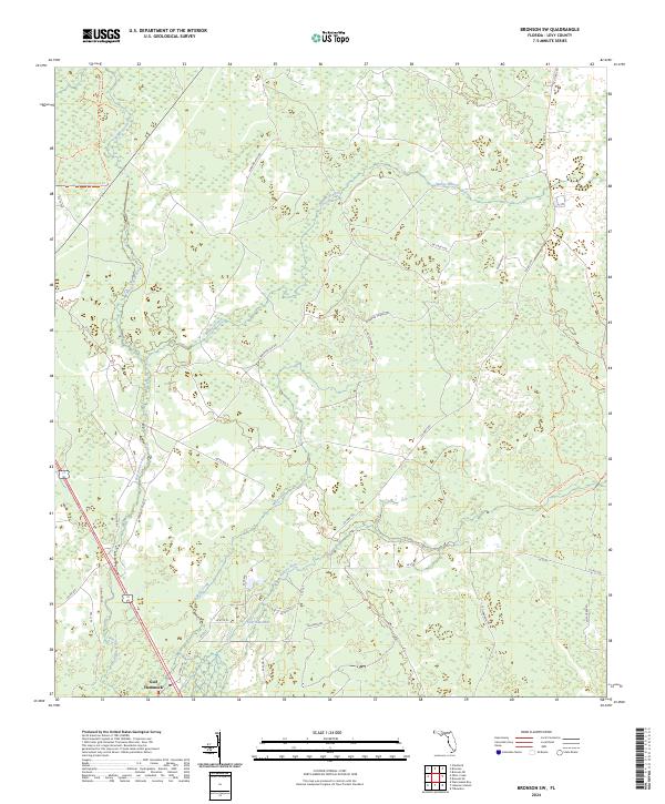
2024 Bronson SW
Levy County, FL
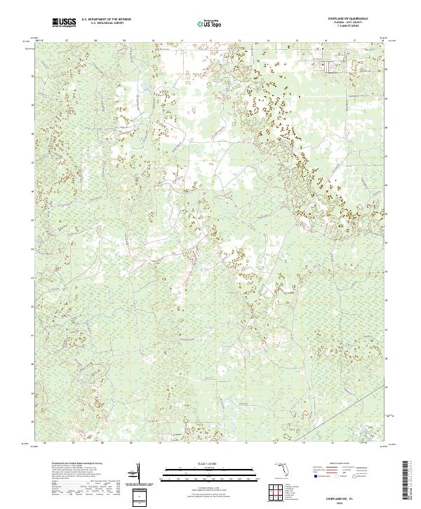
2024 Chiefland SW
Levy County, FL
2024 East Pass
Levy County, FL

2024 Lebanon Station
Levy County, FL
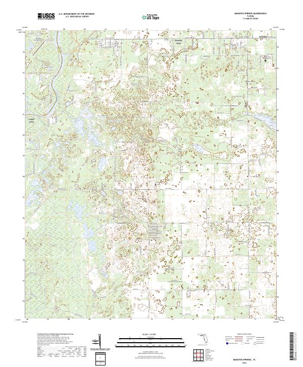
2024 Manatee Springs
Levy County, FL
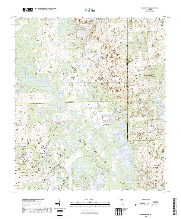
2024 Newberry SW
Levy County, FL
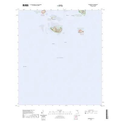
2024 Seahorse Key
Levy County, FL
2024 Sumner
Levy County, FL
2024 Tidewater
Levy County, FL
2024 Waccasassa Bay
Levy County, FL
2024 Withlacoochee Bay
Levy County, FL
2024 Yankeetown SE
Levy County, FL
2025 East Pass
Levy County, FL
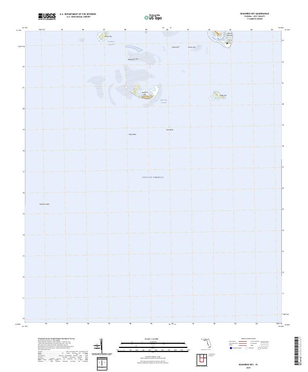
2025 Seahorse Key
Levy County, FL
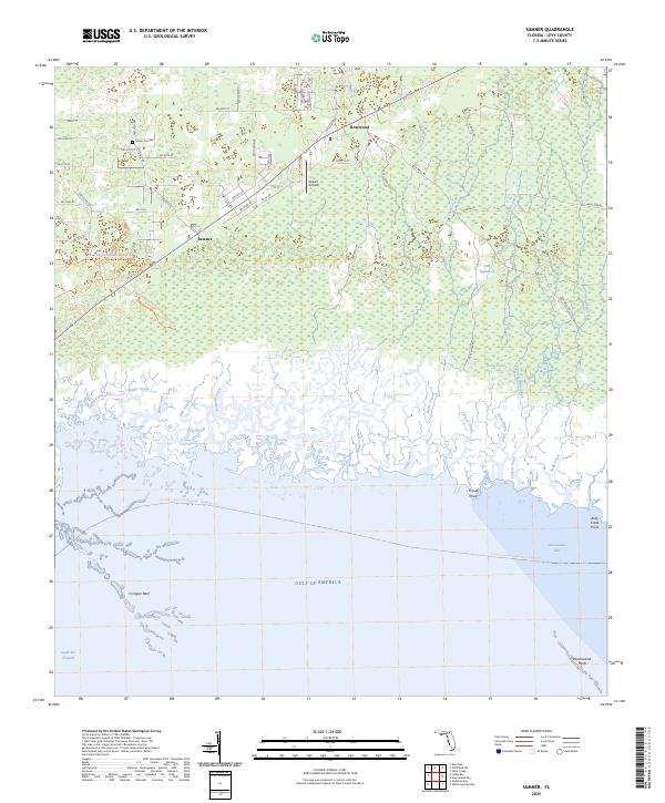
2025 Sumner
Levy County, FL
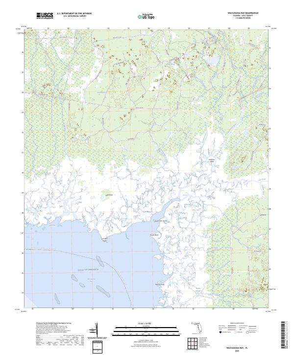
2025 Waccasassa Bay
Levy County, FL
2025 Withlacoochee Bay
Levy County, FL