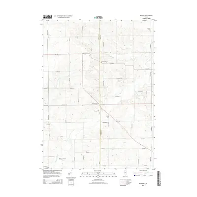
2015 Map of Brookville
USGS Topo · Published 2015About this map
Brookville sits at the intersection of Carroll and Ogle Counties, anchoring a rural landscape defined by the winding course of Elkhorn Cr and its many tributaries. This corner of Northwest Illinois remains deeply rooted in its agricultural heritage, with family-named roadways like Flory Rd and Hitt Rd connecting the scattered homesteads. The topography is marked by notable depressions such as Goose Hollow and the converging waters of Eagle Cr and Middle Cr.
Find a feature on this map
53 named features on this map. Tap any name to fly to it.
Don’t see what you’re looking for? This feature index may not catch every label — zoom into the map to look around manually.
Map Details
Editions of this 2015 Brookville Map
This is the sole edition of this map. No revisions or reprints were ever made.
Other maps of this area

1930 · Woodsung
USGS Topo · 1:48,000

1934 · Morrison
USGS Topo · 1:48,000

1940 · Morrison
USGS Topo · 1:62,500

1942 · Mt Carroll
USGS Topo · 1:62,500

1942 · Forreston
USGS Topo · 1:62,500

1944 · Mt Carroll
USGS Topo · 1:62,500

1945 · Forreston
USGS Topo · 1:62,500

1946 · Sterling
USGS Topo · 1:62,500

1948 · Sterling
USGS Topo · 1:62,500

1954 · Rockford
USGS Topo · 1:250,000