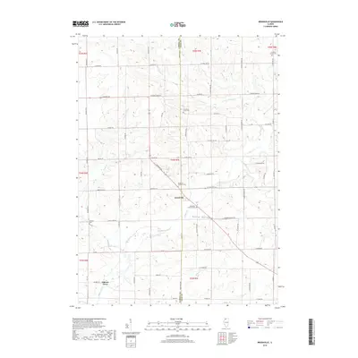
2018 Map of Brookville
USGS Topo · Published 2018About this map
Brookville and the nearby settlement of Elkhorn Grove anchor this section of the Illinois prairie near the Carroll and Ogle county line. The landscape is defined by the branching drainage of Elkhorn Cr, including its W Fork Elkhorn Cr and the topographic depression known as Goose Hollow. These watercourses carve through the terrain, creating a network of ridges and valleys that dictate the placement of local thoroughfares like Shannon Rte and W State Rte 64.
Find a feature on this map
66 named features on this map. Tap any name to fly to it.
Don’t see what you’re looking for? This feature index may not catch every label — zoom into the map to look around manually.
Map Details
Editions of this 2018 Brookville Map
This is the sole edition of this map. No revisions or reprints were ever made.
Other maps of this area

1930 · Woodsung
USGS Topo · 1:48,000

1934 · Morrison
USGS Topo · 1:48,000

1940 · Morrison
USGS Topo · 1:62,500

1942 · Mt Carroll
USGS Topo · 1:62,500

1942 · Forreston
USGS Topo · 1:62,500

1944 · Mt Carroll
USGS Topo · 1:62,500

1945 · Forreston
USGS Topo · 1:62,500

1946 · Sterling
USGS Topo · 1:62,500

1948 · Sterling
USGS Topo · 1:62,500

1954 · Rockford
USGS Topo · 1:250,000