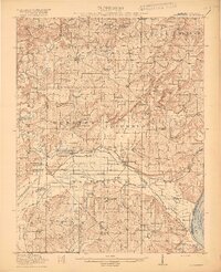
1917 Map of Brownfield
USGS Topo · Published 1917This historical map portrays the area of Brownfield in 1917, primarily covering Pope County as well as portions of Kentucky. Featuring a scale of 1:62500, this map provides a highly detailed snapshot of the terrain, roads, buildings, counties, and historical landmarks in the Brownfield region at the time. Published in 1917, it is one of 4 known editions of this map due to revisions or reprints.
Find a feature on this map
92 named features on this map. Tap any name to fly to it.
Don’t see what you’re looking for? This feature index may not catch every label — zoom into the map to look around manually.
Map Details
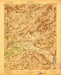
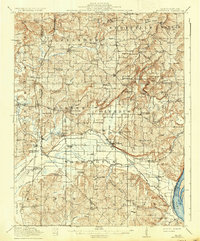
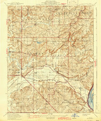
Editions of this 1917 Brownfield Map
4 editions found
Historical Maps of Old Brownfield Through Time
13 maps found
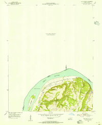
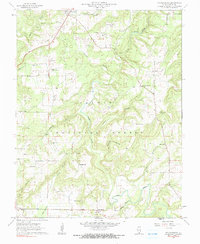
1917 Brownfield
Pope County, IL
1954 Shetlerville
Pope County, IL
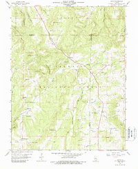
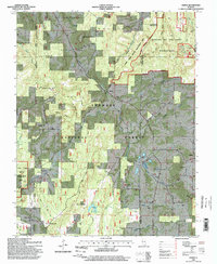
1959 Herod
Pope County, IL
1959 Shetlerville
Pope County, IL
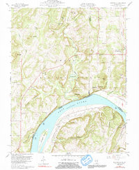
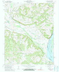
1962 Brownfield
Pope County, IL
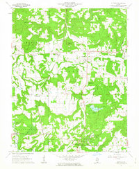
1962 Brownfield
Pope County, IL
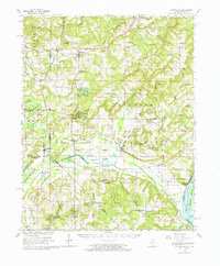
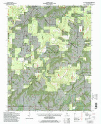
1962 Glendale
Pope County, IL
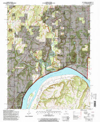
1962 Waltersburg
Pope County, IL
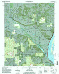
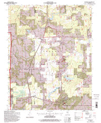
1996 Brownfield
Pope County, IL
1996 Glendale
Pope County, IL
1996 Herod
Pope County, IL
1996 Shetlerville
Pope County, IL
1996 Waltersburg
Pope County, IL