
1899 Map of Browns Creek
USGS Topo · Published 1899About this map
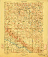
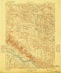
The North Platte River corridor dominates the southern portion of this 1890s survey, illustrating a landscape transitioning from open range to irrigated agriculture. Early Nebraska ranching life is well-documented through dozens of named family holdings, including Johnson's Ranch, Smith's Ranch, and Richardson's Ranch, which are scattered across the northern sand hills and the river valley. The infrastructure of the era is marked by significant engineering projects like the Browns Creek Canal, Beerline Canal, and the North River Canal, which were vital for sustaining the burgeoning settlement at Lisco. To the north, a complex network of seasonal lakes such as Storm Lake, Alkali Lake, and Wild Horse Lake dot the terrain, while landmarks like Courthouse Rock and Antelope Hill provide distinct navigational points in the western Panhandle.
Find a feature on this map
91 named features on this map. Tap any name to fly to it.
Don’t see what you’re looking for? This feature index may not catch every label — zoom into the map to look around manually.
Map Details
Editions of this 1899 Browns Creek Map
5 editions found
Other maps of this area

1896 · Browns Creek
USGS Topo · 1:125,000

1898 · Camp Clarke
USGS Topo · 1:125,000

1899 · Sidney
USGS Topo · 1:125,000

1900 · Chappell
USGS Topo · 1:125,000

1947 · Alliance
USGS Topo · 1:24,000

1947 · Bronco Lake
USGS Topo · 1:24,000

1948 · Hemingford 4 SE
USGS Topo · 1:24,000

1948 · Alliance
USGS Topo · 1:24,000

1948 · Antioch
USGS Topo · 1:62,500

1948 · Lakeside
USGS Topo · 1:62,500