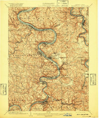
1906 Map of Brownsville
USGS Topo · Published 1920About this map
The Monongahela River carves a deep, serpentine path through this industrial heartland, defining the growth of the coal and steel towns that lined its banks at the turn of the century. Settlements like Monongahela, Charleroi, and Donora are shown in their early industrial prime, densely packed between the river and the steep ridges. The presence of Lock No. 4 highlights the river's vital role as a managed navigation artery for the region's mineral wealth.
Find a feature on this map
142 named features on this map. Tap any name to fly to it.
Don’t see what you’re looking for? This feature index may not catch every label — zoom into the map to look around manually.
Map Details
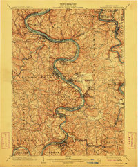
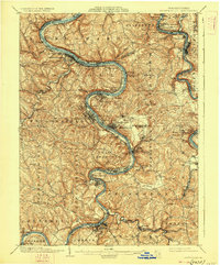
Editions of this 1906 Brownsville Map
4 editions found

Other maps of this area

1900 · Uniontown
USGS Topo · 1:62,500

1900 · Masontown
USGS Topo · 1:62,500

1901 · Amity
USGS Topo · 1:62,500

1901 · Waynesburg
USGS Topo · 1:62,500

1902 · Brownsville
USGS Topo · 1:62,500

1902 · Connellsville
USGS Topo · 1:62,500

1903 · Masontown
USGS Topo · 1:62,500

1904 · Amity
USGS Topo · 1:62,500

1904 · Mc Keesport
USGS Topo · 1:62,500

1904 · Waynesburg
USGS Topo · 1:62,500